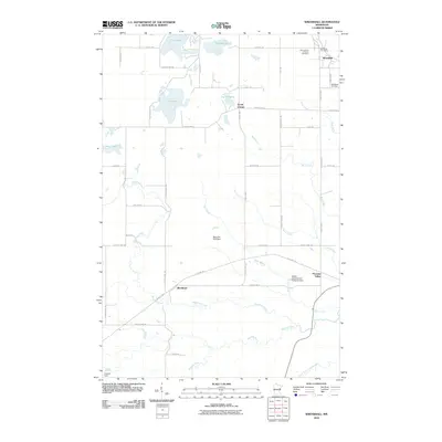
2010 Map of Wrenshall
USGS Topo · Published 2010About this map
Wrenshall anchors the northeastern portion of this landscape, characterized by a transition from organized township grids to the winding riparian corridors of the south. The area is defined by its significant drainage networks, where the Blackhoof River, Nemadji River, and the South Fork Nemadji River carve through the terrain. Evidence of regional infrastructure and community history is found in the Soo Line Trl, which follows a former rail alignment past the Moehrke SCS Dam.
Find a feature on this map
48 named features on this map. Tap any name to fly to it.
Don’t see what you’re looking for? This feature index may not catch every label — zoom into the map to look around manually.
Map Details
Editions of this 2010 Wrenshall Map
This is the sole edition of this map. No revisions or reprints were ever made.
Other maps of this area

1949 · Holyoke
USGS Topo · 1:48,000

1953 · Duluth
USGS Topo · 1:250,000

1954 · Cloquet
USGS Topo · 1:24,000

1954 · Foxboro
USGS Topo · 1:24,000

1954 · Wrenshall
USGS Topo · 1:24,000

1954 · Frogner
USGS Topo · 1:24,000

1954 · Atkinson
USGS Topo · 1:24,000

1954 · Esko
USGS Topo · 1:24,000

1954 · Iverson
USGS Topo · 1:24,000

1956 · Barnum
USGS Topo · 1:62,500