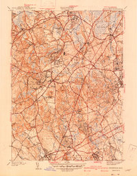
1940 Map of Wrentham
USGS Topo · Published 1940About this map
Wrentham and Foxboro anchor this pre-war landscape in Norfolk County, where the New York New Haven and Hartford RR snakes through a series of mill-driven settlements. The map illustrates a transitional New England economy, balancing institutional landmarks like the State Prison Colony and Pondville Hospital against a backdrop of historic family landholdings and small rural centers. The terrain is defined by an intricate network of waterways, from the Tenmile River in the south to the massive Cedar Swamp in the east, feeding into numerous ponds like Lake Pearl and Archer Lake. Local history is preserved in the detailed marking of local schools such as Everett Sch and Vogel Sch, alongside small burial grounds like Bacon Cem and Quaker Cem, which reflect the early Quaker influence in the region near the Bristol County line.
Find a feature on this map
61 named features on this map. Tap any name to fly to it.
Don’t see what you’re looking for? This feature index may not catch every label — zoom into the map to look around manually.
Map Details
Editions of this 1940 Wrentham Map
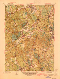
2 editions found
Other maps of this area

1885 · Taunton
USGS Topo · 1:62,500

1886 · Dedham
USGS Topo · 1:62,500

1887 · Franklin
USGS Topo · 1:62,500

1887 · Providence
USGS Topo · 1:62,500

1888 · Taunton
USGS Topo · 1:62,500

1889 · Providence
USGS Topo · 1:62,500

1889 · Franklin
USGS Topo · 1:62,500

1893 · Taunton
USGS Topo · 1:62,500

1893 · Franklin
USGS Topo · 1:62,500

1894 · Dedham
USGS Topo · 1:62,500