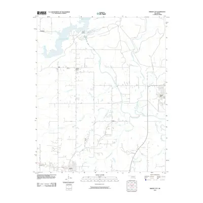
2010 Map of Wright City
USGS Topo · Published 2010About this map
Pine Creek Lake and the Little River dominate the northern and eastern portions of this McCurtain County landscape. The hydrology of the region is defined by the Pine Creek Dam, which regulates the flow of the river as it winds past Rough Hollow toward the southeastern corner of the map. This area shows a pattern of small settlements and rural crossroads, including Mound Grove, Slim, and Felker, connected by local routes and the more prominent Old State Hwy 98. In the southwest, the town of Valliant serves as a local hub near the Valliant Cemetery, while Wright City sits along the eastern edge of the quadrangle. Genealogists and local historians can use the locations of Moran Cemetery and various creek branches like White Oak Creek and Cypress Creek to pin down specific family land tracts in this part of Oklahoma.
Find a feature on this map
22 named features on this map. Tap any name to fly to it.
Don’t see what you’re looking for? This feature index may not catch every label — zoom into the map to look around manually.
Map Details
Editions of this 2010 Wright City Map
This is the sole edition of this map. No revisions or reprints were ever made.
Other maps of this area

1901 · Alikchi
USGS Topo · 1:125,000

1902 · Lukfata
USGS Topo · 1:125,000

1950 · Mcalester
USGS Topo · 1:250,000

1951 · Garvin
USGS Topo · 1:24,000

1951 · Millerton
USGS Topo · 1:24,000

1951 · Kiomatia
USGS Topo · 1:24,000

1953 · Texarkana
USGS Topo · 1:250,000

1956 · Texarkana
USGS Topo · 1:250,000

1959 · Golden
USGS Topo · 1:62,500

1962 · McAlester
USGS Topo · 1:250,000