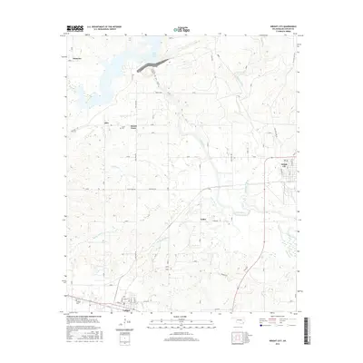
2016 Map of Wright City
USGS Topo · Published 2016About this map
Wright City and the neighboring community of Valliant anchor this 2016 survey of southeastern Oklahoma, where the landscape is defined by the winding course of the Little River and its numerous tributaries. The geography here is a mix of low-lying wetlands and managed timberlands, with Pine Creek Lake occupying the northwestern corner and feeding into Pine Cr. Local history is visible in the scattered rural settlements like Mound Grove, Slim, and Felker, alongside established resting places such as Moran Cem and Valliant Cem. The transition from river bottomlands to the terrain at Rough Hollow highlights the varied topography of McCurtain County. A network of rural routes, including Tommy Taylor Trl and Old State Hwy 98, connects these small communities, while Cypress Creek and White Oak Cr carve distinct paths through the wooded interior.
Find a feature on this map
38 named features on this map. Tap any name to fly to it.
Don’t see what you’re looking for? This feature index may not catch every label — zoom into the map to look around manually.
Map Details
Editions of this 2016 Wright City Map
This is the sole edition of this map. No revisions or reprints were ever made.
Other maps of this area

1901 · Alikchi
USGS Topo · 1:125,000

1902 · Lukfata
USGS Topo · 1:125,000

1950 · Mcalester
USGS Topo · 1:250,000

1951 · Garvin
USGS Topo · 1:24,000

1951 · Millerton
USGS Topo · 1:24,000

1951 · Kiomatia
USGS Topo · 1:24,000

1953 · Texarkana
USGS Topo · 1:250,000

1956 · Texarkana
USGS Topo · 1:250,000

1959 · Golden
USGS Topo · 1:62,500

1962 · McAlester
USGS Topo · 1:250,000