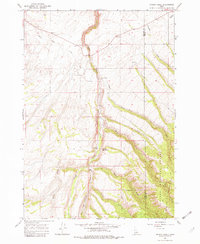
1965 Map of Wright Creek
USGS Topo · Published 1982About this map
Heise Hot Springs and a nearby Swimming Pool mark a distinct recreational pocket in this mid-1960s landscape, where the Madison and Teton county lines meet. The terrain is defined by the steep transitions of the Big Hole Mountains, which are largely encompassed by the Targhee National Forest. A complex drainage network of seasonal and perennial streams, including Wright Creek and Canyon Creek, dissects the high country, providing the hydrological basis for the localized Canal systems seen in the lower elevations.
Find a feature on this map
16 named features on this map. Tap any name to fly to it.
Don’t see what you’re looking for? This feature index may not catch every label — zoom into the map to look around manually.
Map Details
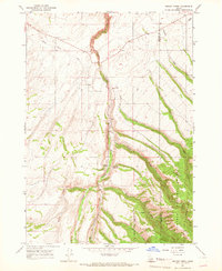
Editions of this 1965 Wright Creek Map
2 editions found
Other maps of this area

1943 · Garns Mtn
USGS Topo · 1:62,500

1946 · Garns Mtn
USGS Topo · 1:62,500

1949 · Newdale
USGS Topo · 1:24,000

1950 · Newdale
USGS Topo · 1:24,000

1951 · Hawley Gulch
USGS Topo · 1:24,000

1951 · White Owl Butte
USGS Topo · 1:24,000

1955 · Driggs
USGS Topo · 1:250,000

1958 · Driggs
USGS Topo · 1:250,000

1962 · Driggs
USGS Topo · 1:250,000

1965 · Packsaddle Lake
USGS Topo · 1:24,000