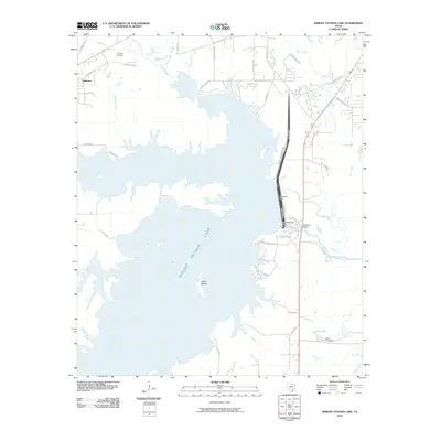
2010 Map of Wright Patman Lake
USGS Topo · Published 2010About this map
Wright Patman Lake dominates this landscape in Bowie County, created by the engineering of the Wright Patman Dam and Texarkana Dam. The reservoir's sprawling, jagged shoreline creates numerous inlets where creeks like Elliott Creek, Rochelle Creek, and Fleming Creek meet the rising waters. To the northwest, the settlement of Redwater sits near the headwaters of these drainage systems, while the local history of the upland areas is anchored by the Hollaway Cemetery and winding country routes like Red River Rd N and Pine Ridge Rd.
Find a feature on this map
45 named features on this map. Tap any name to fly to it.
Don’t see what you’re looking for? This feature index may not catch every label — zoom into the map to look around manually.
Map Details
Editions of this 2010 Wright Patman Lake Map
This is the sole edition of this map. No revisions or reprints were ever made.
Other maps of this area

1907 · Atlanta
USGS Topo · 1:62,500

1909 · New Boston
USGS Topo · 1:62,500

1909 · Texarkana
USGS Topo · 1:62,500

1910 · Linden
USGS Topo · 1:62,500

1910 · Atlanta
USGS Topo · 1:62,500

1953 · Texarkana
USGS Topo · 1:250,000

1954 · Texarkana
USGS Topo · 1:24,000

1954 · Domino
USGS Topo · 1:24,000

1954 · Leary
USGS Topo · 1:24,000

1954 · Hooks
USGS Topo · 1:24,000