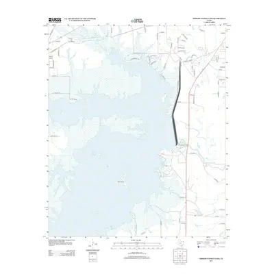
2013 Map of Wright Patman Lake
USGS Topo · Published 2013About this map
Wright Patman Lake dominates this 2013 landscape, representing a significant modification of the Sulphur River drainage system in Bowie County. The lake’s sprawling shoreline is punctuated by Bells Island and recreational access points like the Elliott Bluff Boat Ramp and Clear Springs Park. Near the northern boundary, the Hollaway Cem serves as a small but vital link to the area's pioneer past, while the settlement of Sherwood Forrest reflects the shift toward residential development and lakeside living.
Find a feature on this map
71 named features on this map. Tap any name to fly to it.
Don’t see what you’re looking for? This feature index may not catch every label — zoom into the map to look around manually.
Map Details
Editions of this 2013 Wright Patman Lake Map
This is the sole edition of this map. No revisions or reprints were ever made.
Other maps of this area

1907 · Atlanta
USGS Topo · 1:62,500

1909 · New Boston
USGS Topo · 1:62,500

1909 · Texarkana
USGS Topo · 1:62,500

1910 · Linden
USGS Topo · 1:62,500

1910 · Atlanta
USGS Topo · 1:62,500

1953 · Texarkana
USGS Topo · 1:250,000

1954 · Texarkana
USGS Topo · 1:24,000

1954 · Domino
USGS Topo · 1:24,000

1954 · Leary
USGS Topo · 1:24,000

1954 · Hooks
USGS Topo · 1:24,000