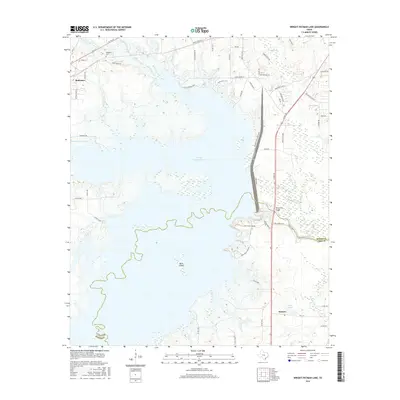
2016 Map of Wright Patman Lake
USGS Topo · Published 2016About this map
Wright Patman Lake dominates this northeast Texas landscape, flooding the valley where the Sulphur River once flowed naturally across the Bowie and Cass County line. The map reveals a complex shoreline where numerous tributaries, including Elliott Cr, Boone Cr, and Fleming Cr, reach into the timbered uplands. The settlement of Redwater sits on the northwestern heights, while the smaller community of Domino is situated near the southern edge of the sheet.
Find a feature on this map
65 named features on this map. Tap any name to fly to it.
Don’t see what you’re looking for? This feature index may not catch every label — zoom into the map to look around manually.
Map Details
Editions of this 2016 Wright Patman Lake Map
This is the sole edition of this map. No revisions or reprints were ever made.
Other maps of this area

1907 · Atlanta
USGS Topo · 1:62,500

1909 · New Boston
USGS Topo · 1:62,500

1909 · Texarkana
USGS Topo · 1:62,500

1910 · Linden
USGS Topo · 1:62,500

1910 · Atlanta
USGS Topo · 1:62,500

1953 · Texarkana
USGS Topo · 1:250,000

1954 · Texarkana
USGS Topo · 1:24,000

1954 · Domino
USGS Topo · 1:24,000

1954 · Leary
USGS Topo · 1:24,000

1954 · Hooks
USGS Topo · 1:24,000