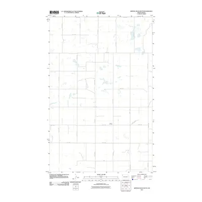
2011 Map of Writing Rock South
USGS Topo · Published 2011About this map
Bethany Cemetery provides a quiet landmark in this corner of Williams County, situated near the intersection of 86th St NW and 144th Ave NW. The landscape reflects the orderly expansion of North Dakota's section-line road system, where corridors like County Hwy-7 and County Rd-7 cut through the prairie. This 2011 survey by the U. S. Geological Survey shows a rural terrain defined by scattered wetlands and small ponds typical of the northern plains. The network of local routes, including 92nd St NW and 142nd Ave NW, underscores the agricultural layout of the region, where vast stretches of open land are organized into a strict cardinal grid. For those tracing local families or surveying the infrastructure of modern rural North Dakota, the map details the precise alignment of township roads and the placement of local burial grounds.
Find a feature on this map
17 named features on this map. Tap any name to fly to it.
Don’t see what you’re looking for? This feature index may not catch every label — zoom into the map to look around manually.
Map Details
Editions of this 2011 Writing Rock South Map
This is the sole edition of this map. No revisions or reprints were ever made.
Other maps of this area

1948 · Grenora
USGS Topo · 1:24,000

1948 · Hanks
USGS Topo · 1:24,000

1948 · Stady
USGS Topo · 1:24,000

1948 · Zahl
USGS Topo · 1:24,000

1953 · Williston
USGS Topo · 1:250,000

1957 · Williston
USGS Topo · 1:250,000

1983 · Writing Rock North
USGS Topo · 1:24,000

1983 · Alkabo
USGS Topo · 1:24,000

1983 · Alexandria
USGS Topo · 1:24,000

1983 · Writing Rock South
USGS Topo · 1:24,000