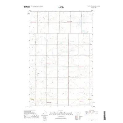
2020 Map of Writing Rock South
USGS Topo · Published 2020About this map
The Divide Co Williams Co boundary line marks the southern reach of this agricultural landscape in northwestern North Dakota. The area is defined by its rural isolation and a grid of section-line roads, including 91st St NW and Co Rd 7, which navigate a terrain pocketed with small prairie wetlands and glacial depressions. A quiet sense of community history is found at Bethany Cem, a significant landmark for those tracing family roots in this corner of the state. Near the center of the map, the Storseth Airstrip suggests the continued importance of private aviation for transport and crop management in this sparsely populated region. The map captures the enduring township and range structure, documenting the spatial organization of the prairie near the turn of the decade.
Find a feature on this map
18 named features on this map. Tap any name to fly to it.
Don’t see what you’re looking for? This feature index may not catch every label — zoom into the map to look around manually.
Map Details
Editions of this 2020 Writing Rock South Map
This is the sole edition of this map. No revisions or reprints were ever made.
Other maps of this area

1948 · Grenora
USGS Topo · 1:24,000

1948 · Hanks
USGS Topo · 1:24,000

1948 · Stady
USGS Topo · 1:24,000

1948 · Zahl
USGS Topo · 1:24,000

1953 · Williston
USGS Topo · 1:250,000

1957 · Williston
USGS Topo · 1:250,000

1983 · Writing Rock North
USGS Topo · 1:24,000

1983 · Alkabo
USGS Topo · 1:24,000

1983 · Alexandria
USGS Topo · 1:24,000

1983 · Writing Rock South
USGS Topo · 1:24,000