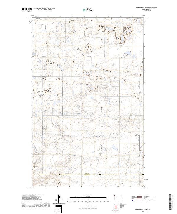
2024 Map of Writing Rock South
USGS Topo · Published 2024About this map
The county line between Divide Co and Williams Co serves as a primary geographic anchor for this sparsely populated portion of the North Dakota prairie. The landscape is defined by a rigorous section-line road network, including 91st St NW and 144th Ave NW, which organizes the agricultural expanse. Local landmarks are rare and significant in this high plains environment, with the rural Bethany Cem and the Storseth Airstrip marking isolated points of community and transport activity. Numerous small wetlands and depressions are scattered throughout the townships of t160n r102w and t161n r101w, indicating the glacial history of the Missouri Plateau and the seasonal water patterns that dictate local land use.
Find a feature on this map
27 named features on this map. Tap any name to fly to it.
Don’t see what you’re looking for? This feature index may not catch every label — zoom into the map to look around manually.
Map Details
Editions of this 2024 Writing Rock South Map
This is the sole edition of this map. No revisions or reprints were ever made.
Other maps of this area

1948 · Grenora
USGS Topo · 1:24,000

1948 · Hanks
USGS Topo · 1:24,000

1948 · Stady
USGS Topo · 1:24,000

1948 · Zahl
USGS Topo · 1:24,000

1953 · Williston
USGS Topo · 1:250,000

1957 · Williston
USGS Topo · 1:250,000

1983 · Writing Rock North
USGS Topo · 1:24,000

1983 · Alkabo
USGS Topo · 1:24,000

1983 · Alexandria
USGS Topo · 1:24,000

1983 · Writing Rock South
USGS Topo · 1:24,000