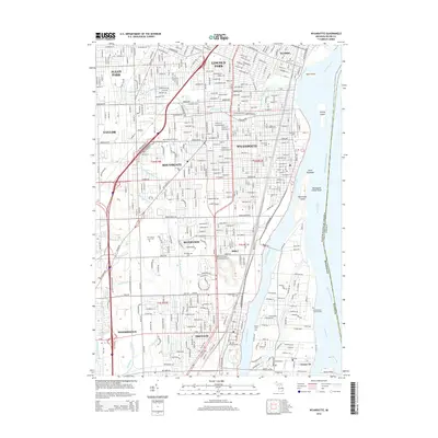
2014 Map of Wyandotte
USGS Topo · Published 2014About this map
Wyandotte and the surrounding Downriver communities are defined by a complex network of industrial waterways and riverfront islands along the Detroit River. The landscape is heavily structured by drainage and water management, featuring names like Sexton and Kilfoil Drain and Frank and Poet Drain that cut through the residential grids of Taylor and Southgate. The map documents a significant religious and genealogical footprint through established sites such as Our Lady of Hope Cem and the historically noted The Old Burial Ground in Trenton.
Find a feature on this map
74 named features on this map. Tap any name to fly to it.
Don’t see what you’re looking for? This feature index may not catch every label — zoom into the map to look around manually.
Map Details
Editions of this 2014 Wyandotte Map
This is the sole edition of this map. No revisions or reprints were ever made.
Other maps of this area

1905 · Wayne
USGS Topo · 1:62,500

1905 · Detroit
USGS Topo · 1:62,500

1906 · Wyandotte
USGS Topo · 1:62,500

1906 · Romulus
USGS Topo · 1:62,500

1912 · Wyandotte
USGS Topo · 1:62,500

1912 · Wayne
USGS Topo · 1:62,500

1918 · Detroit
USGS Topo · 1:62,500

1924 · Detroit
USGS Topo · 1:62,500

1928 · Romulus
USGS Topo · 1:62,500

1929 · Wyandotte
USGS Topo · 1:62,500