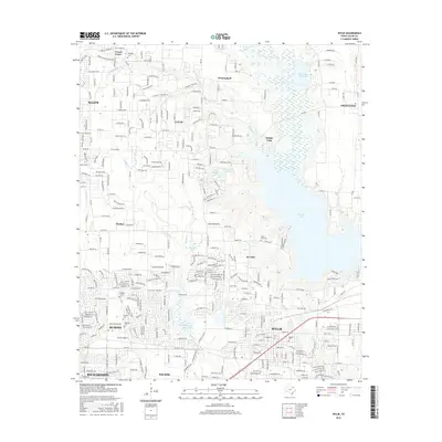
2016 Map of Wylie
USGS Topo · Published 2016About this map
Lavon Lake dominates the eastern horizon of this Collin County landscape, a massive reservoir that reshaped the local geography alongside Muddy Cr Reservoir. The area is characterized by the expanding suburban footprints of Wylie, Murphy, and Sachse, yet it preserves significant traces of its earlier rural character through numerous family and community burial grounds. Genealogists can locate several historic sites including Fitzhugh Cem near Forest Grove, Saint Paul Cem, and McMillan Cem. The transition from old farmsteads to residential developments is visible through the dense network of roads like FM 1378 and Parker Rd, which connect established settlements like Lucas and Winningkoff. Numerous waterways including White Rock Cr, Wilson Cr, and Maxwell Cr weave between the residential grids and the preserved open space of Trinity Park.
Find a feature on this map
73 named features on this map. Tap any name to fly to it.
Don’t see what you’re looking for? This feature index may not catch every label — zoom into the map to look around manually.
Map Details
Editions of this 2016 Wylie Map
This is the sole edition of this map. No revisions or reprints were ever made.
Other maps of this area

1891 · Dallas
USGS Topo · 1:125,000

1893 · Dallas
USGS Topo · 1:125,000

1912 · Rockwall
USGS Topo · 1:31,680

1919 · Royse City
USGS Topo · 1:62,500

1924 · Farmersville 3-c
USGS Topo · 1:48,000

1924 · Mc Kinney 4-d
USGS Topo · 1:48,000

1929 · McKinney
USGS Topo · 1:62,500

1930 · Farmersville
USGS Topo · 1:62,500

1954 · Dallas
USGS Topo · 1:250,000

1954 · Sherman
USGS Topo · 1:250,000