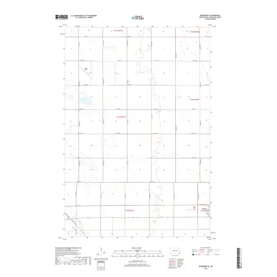
2018 Map of Wyndmere SE
USGS Topo · Published 2018About this map
The small community of Barney anchors the southeastern corner of this Richland County landscape, where the Peace Lutheran Cem serves as a significant landmark for local family historians. This portion of the Red River Valley is defined by a rigorous section-line grid of roads, including 158th Ave SE and 74th St SE, which facilitate the region's agricultural transport network. Two aviation facilities, the Sanden Airport to the northwest and the Hager Strip near the town center, underscore the importance of aerial application and private flight in this farming district. Notable local transit features include Elevator Rd and Overpass Ln, reflecting the intersection of local grain handling and regional rail or highway corridors.
Find a feature on this map
29 named features on this map. Tap any name to fly to it.
Don’t see what you’re looking for? This feature index may not catch every label — zoom into the map to look around manually.
Map Details
Editions of this 2018 Wyndmere SE Map
This is the sole edition of this map. No revisions or reprints were ever made.
Other maps of this area

1904 · Wahpeton
USGS Topo · 1:125,000

1907 · Wyndmere
USGS Topo · 1:125,000

1953 · Fargo
USGS Topo · 1:250,000

1956 · Fargo
USGS Topo · 1:250,000

1959 · Wyndmere NE
USGS Topo · 1:24,000

1959 · Mooreton NW
USGS Topo · 1:24,000

1960 · Wyndmere
USGS Topo · 1:24,000

1960 · Wyndmere NW
USGS Topo · 1:24,000

1960 · Mooreton West
USGS Topo · 1:24,000

1960 · Wyndmere SE
USGS Topo · 1:24,000