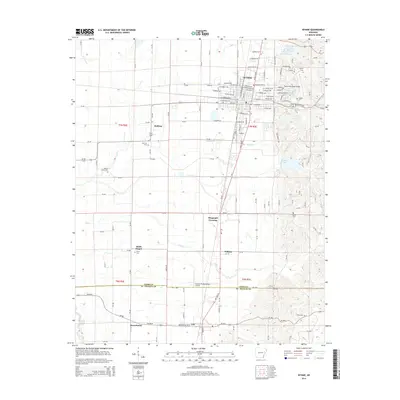
2014 Map of Wynne
USGS Topo · Published 2014About this map
Wynne serves as the focal point of this Arkansas delta landscape, where the town grid meets an intricate network of rural roads and watercourses. The transition from the urban streets of the county seat to the agricultural outskirts is marked by numerous family and community landmarks, including Wynne Cem and Cogbill Cem near the town center. Moving south toward the boundary of Cross Co and St. Francis Co, the terrain is defined by the winding paths of Bear Cr and Lick Cr.
Find a feature on this map
142 named features on this map. Tap any name to fly to it.
Don’t see what you’re looking for? This feature index may not catch every label — zoom into the map to look around manually.
Map Details
Editions of this 2014 Wynne Map
This is the sole edition of this map. No revisions or reprints were ever made.
Other maps of this area

1939 · Vanndale
USGS Topo · 1:62,500

1939 · Wynne
USGS Topo · 1:62,500

1940 · Princedale
USGS Topo · 1:62,500

1940 · Whitmore
USGS Topo · 1:62,500

1953 · Memphis
USGS Topo · 1:250,000

1956 · Memphis
USGS Topo · 1:250,000

1956 · Whitmore
USGS Topo · 1:62,500

1956 · Princedale
USGS Topo · 1:62,500

1958 · Wynne
USGS Topo · 1:62,500

1958 · Vanndale
USGS Topo · 1:62,500