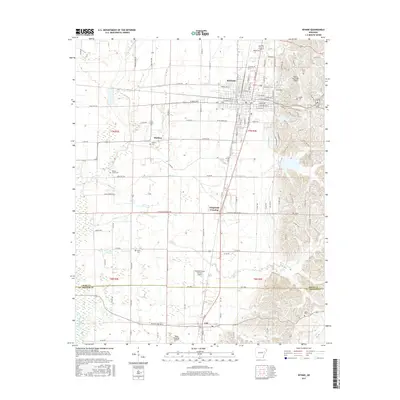
2017 Map of Wynne
USGS Topo · Published 2017About this map
Wynne sits at the heart of this East Arkansas landscape, serving as a primary hub where the residential streets of Forrest Ave W and E Union Ave meet the rural reaches of Cross County. The terrain is marked by a network of drainage and creek systems, including the Languille River and Cane Cr, which influence the layout of local farms and roads. This survey illustrates the transition from the concentrated grid of the city to the dispersed settlements of McElroy and Colt further south.
Find a feature on this map
129 named features on this map. Tap any name to fly to it.
Don’t see what you’re looking for? This feature index may not catch every label — zoom into the map to look around manually.
Map Details
Editions of this 2017 Wynne Map
This is the sole edition of this map. No revisions or reprints were ever made.
Other maps of this area

1939 · Vanndale
USGS Topo · 1:62,500

1939 · Wynne
USGS Topo · 1:62,500

1940 · Princedale
USGS Topo · 1:62,500

1940 · Whitmore
USGS Topo · 1:62,500

1953 · Memphis
USGS Topo · 1:250,000

1956 · Memphis
USGS Topo · 1:250,000

1956 · Whitmore
USGS Topo · 1:62,500

1956 · Princedale
USGS Topo · 1:62,500

1958 · Wynne
USGS Topo · 1:62,500

1958 · Vanndale
USGS Topo · 1:62,500