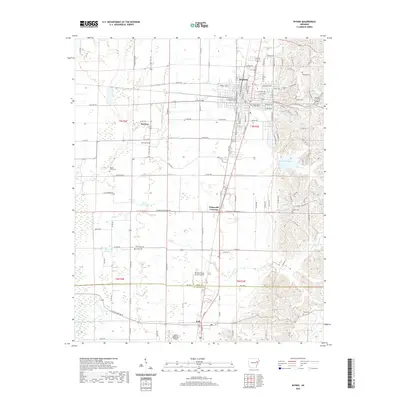
2020 Map of Wynne
USGS Topo · Published 2020About this map
Wynne serves as the focal point of this Eastern Arkansas landscape, where the Cross County Courthouse anchors a grid of residential streets including Eldridge Ave and Forrest Ave. The town is surrounded by a network of rural settlements like McElroy, Colt, and Fitzgerald Crossing. The terrain is defined by the drainage of Cane Creek and Lick Creek, which wind through the agricultural fields and forested patches that characterize the region.
Find a feature on this map
107 named features on this map. Tap any name to fly to it.
Don’t see what you’re looking for? This feature index may not catch every label — zoom into the map to look around manually.
Map Details
Editions of this 2020 Wynne Map
This is the sole edition of this map. No revisions or reprints were ever made.
Other maps of this area

1939 · Vanndale
USGS Topo · 1:62,500

1939 · Wynne
USGS Topo · 1:62,500

1940 · Princedale
USGS Topo · 1:62,500

1940 · Whitmore
USGS Topo · 1:62,500

1953 · Memphis
USGS Topo · 1:250,000

1956 · Memphis
USGS Topo · 1:250,000

1956 · Whitmore
USGS Topo · 1:62,500

1956 · Princedale
USGS Topo · 1:62,500

1958 · Wynne
USGS Topo · 1:62,500

1958 · Vanndale
USGS Topo · 1:62,500