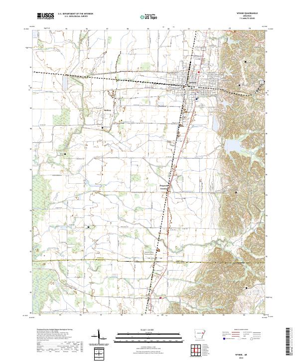
2024 Map of Wynne
USGS Topo · Published 2024About this map
Wynne stands as a focal point of this 2024 landscape, where the flat agricultural plains of eastern Arkansas meet the distinct elevation of Crowley's Ridge. This geological formation rises sharply on the eastern edge of the sheet, creating a transition from the grid-patterned farmlands to more varied terrain. Within the city, the County Courthouse signifies its role as a regional center of governance, while the nearby Runsick Flying Service Airport and multiple crop-dusting strips reflect the area's deep-rooted aviation-supported agriculture. Outside the main city limits, small settlements like McElroy, Fitzgerald Crossing, and Colt dot the countryside alongside winding waterways such as Williams Creek and Lick Creek. For those tracing local heritage, a series of family and community burial sites including Cogbill, Walnut Grove, and Yarbo are preserved across the quadrangle.
Find a feature on this map
94 named features on this map. Tap any name to fly to it.
Don’t see what you’re looking for? This feature index may not catch every label — zoom into the map to look around manually.
Map Details
Editions of this 2024 Wynne Map
This is the sole edition of this map. No revisions or reprints were ever made.
Other maps of this area

1939 · Vanndale
USGS Topo · 1:62,500

1939 · Wynne
USGS Topo · 1:62,500

1940 · Princedale
USGS Topo · 1:62,500

1940 · Whitmore
USGS Topo · 1:62,500

1953 · Memphis
USGS Topo · 1:250,000

1956 · Memphis
USGS Topo · 1:250,000

1956 · Whitmore
USGS Topo · 1:62,500

1956 · Princedale
USGS Topo · 1:62,500

1958 · Wynne
USGS Topo · 1:62,500

1958 · Vanndale
USGS Topo · 1:62,500