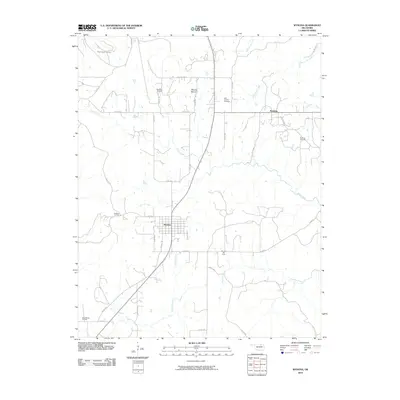
2010 Map of Wynona
USGS Topo · Published 2010About this map
The town of Wynona and its surrounding prairie landscape are defined by the extensive footprint of energy extraction and cattle ranching in Osage County. Numerous petroleum deposits characterize the local geography, including the New England Oil Field, Bulldog Oil Field, and the Pershing Oil Field near the settlement of Pershing. The terrain is marked by prominent rises like Wooster Mound and drained by a web of creeks, notably Twomile Creek and Birch Creek, which carve through the grid-patterned county roads.
Find a feature on this map
37 named features on this map. Tap any name to fly to it.
Don’t see what you’re looking for? This feature index may not catch every label — zoom into the map to look around manually.
Map Details
Editions of this 2010 Wynona Map
This is the sole edition of this map. No revisions or reprints were ever made.
Other maps of this area

1906 · Nelagoney
USGS Topo · 1:24,000

1909 · Pawhuska
USGS Topo · 1:125,000

1910 · Pawhuska
USGS Topo · 1:125,000

1912 · Hominy
USGS Topo · 1:125,000

1915 · Hominy
USGS Topo · 1:125,000

1915 · Hominy
USGS Topo · 1:62,500

1955 · Enid
USGS Topo · 1:250,000

1958 · Enid
USGS Topo · 1:250,000

1960 · Nelagoney
USGS Topo · 1:24,000

1960 · Pawhuska
USGS Topo · 1:24,000