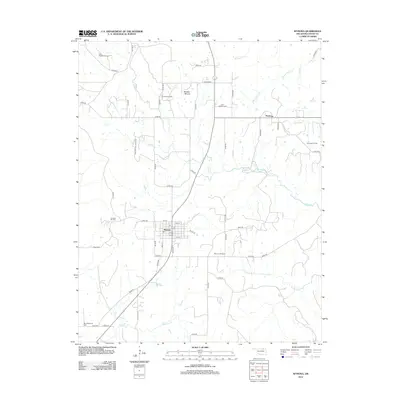
2012 Map of Wynona
USGS Topo · Published 2012About this map
Wynona serves as the primary hub of this Osage County landscape, characterized by a grid of numbered streets like 1st St and 7th St near Main St. The town's layout reflects its history as an oil-country settlement, surrounded by a high density of named petroleum resources such as the Wynona Oil Field and the Bulldog Oil Field. Further north, the smaller community of Pershing sits near its namesake Pershing Oil Field, illustrating the widespread industrial footprint on the prairie.
Find a feature on this map
55 named features on this map. Tap any name to fly to it.
Don’t see what you’re looking for? This feature index may not catch every label — zoom into the map to look around manually.
Map Details
Editions of this 2012 Wynona Map
This is the sole edition of this map. No revisions or reprints were ever made.
Other maps of this area

1906 · Nelagoney
USGS Topo · 1:24,000

1909 · Pawhuska
USGS Topo · 1:125,000

1910 · Pawhuska
USGS Topo · 1:125,000

1912 · Hominy
USGS Topo · 1:125,000

1915 · Hominy
USGS Topo · 1:125,000

1915 · Hominy
USGS Topo · 1:62,500

1955 · Enid
USGS Topo · 1:250,000

1958 · Enid
USGS Topo · 1:250,000

1960 · Nelagoney
USGS Topo · 1:24,000

1960 · Pawhuska
USGS Topo · 1:24,000