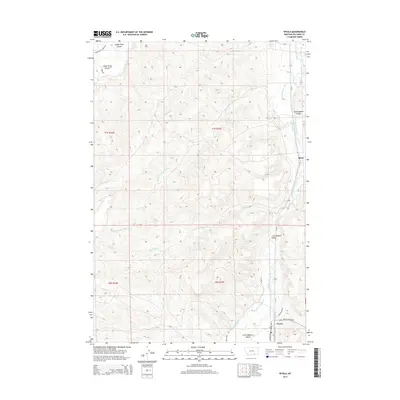
2014 Map of Wyola
USGS Topo · Published 2014About this map
Wyola and Spear anchor the eastern reaches of Big Horn County in this modern survey, where the Little Bighorn River carves through its namesake valley. The landscape is defined by a complex network of hydraulic engineering, including the Bozeman Trail Ditch and Sloan Ditch, reflecting the critical role of water management in this Montana prairie. To the west, the terrain rises sharply toward the Lodge Grass Canyon, with the winding course of Lodge Grass Cr and the descriptively named White Man Runs Him Cr dissecting the high ground. This topographic record illustrates the persistent ranching and agricultural character of the region, where rural life follows the contours of the Little Bighorn Valley. Local landmarks like Alligator Spring and the drainage of Buffalo Cr punctuate the vast open spaces between the small settlements.
Find a feature on this map
27 named features on this map. Tap any name to fly to it.
Don’t see what you’re looking for? This feature index may not catch every label — zoom into the map to look around manually.
Map Details
Editions of this 2014 Wyola Map
This is the sole edition of this map. No revisions or reprints were ever made.
Other maps of this area

1894 · Rosebud
USGS Topo · 1:125,000

1894 · St. Xavier
USGS Topo · 1:125,000

1901 · Rosebud
USGS Topo · 1:125,000

1901 · St. Xavier
USGS Topo · 1:125,000

1954 · Hardin
USGS Topo · 1:250,000

1957 · Hardin
USGS Topo · 1:250,000

1958 · Hardin
USGS Topo · 1:250,000

1960 · Schick Ranch
USGS Topo · 1:24,000
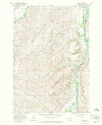
1967 · Wyola
USGS Topo · 1:24,000
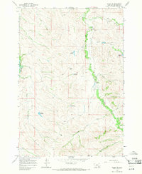
1967 · Wyola NE
USGS Topo · 1:24,000