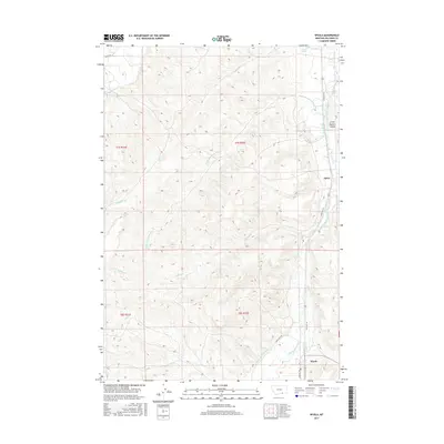
2017 Map of Wyola
USGS Topo · Published 2017About this map
The Little Bighorn Valley serves as the primary corridor for settlement and transportation in this section of Big Horn County. The Little Bighorn River winds through the eastern portion of the map, supporting a network of agricultural waterworks including the Sloan Ditch, Fortymile Canal, and the historically evocative Bozeman Trail Ditch. The small community of Wyola is positioned at the southern end of the valley, while the settlement of Spear is located further north along the Frontage Rd.
Find a feature on this map
22 named features on this map. Tap any name to fly to it.
Don’t see what you’re looking for? This feature index may not catch every label — zoom into the map to look around manually.
Map Details
Editions of this 2017 Wyola Map
This is the sole edition of this map. No revisions or reprints were ever made.
Other maps of this area

1894 · Rosebud
USGS Topo · 1:125,000

1894 · St. Xavier
USGS Topo · 1:125,000

1901 · Rosebud
USGS Topo · 1:125,000

1901 · St. Xavier
USGS Topo · 1:125,000

1954 · Hardin
USGS Topo · 1:250,000

1957 · Hardin
USGS Topo · 1:250,000

1958 · Hardin
USGS Topo · 1:250,000

1960 · Schick Ranch
USGS Topo · 1:24,000
1967 · Wyola
USGS Topo · 1:24,000
1967 · Wyola NE
USGS Topo · 1:24,000