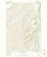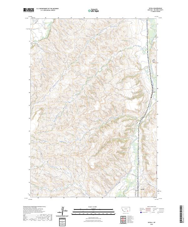
2024 Map of Wyola
USGS Topo · Published 2024About this map
The Little Bighorn River flows through a landscape defined by significant water management and naming conventions that reflect the Indigenous and frontier history of Big Horn County. The settlement of Wyola sits at the southern end of the Little Bighorn Valley, while the smaller community of Spear is located further north along the river's course. A sophisticated network of irrigation infrastructure is evident through the Bozeman Trail Ditch, Fortymile Canal, and Sloan Ditch, which redirect water across the arid terrain. Names like White Man Runs Him Creek and Alligator Creek underscore the cultural layer of the land. Moving away from the river, the geography transitions into a series of drainages including Buffalo Creek and Crazy Creek, showing the complex hydrologic character of this Montana ranching and reservation corridor.
Find a feature on this map
22 named features on this map. Tap any name to fly to it.
Don’t see what you’re looking for? This feature index may not catch every label — zoom into the map to look around manually.
Map Details
Editions of this 2024 Wyola Map
This is the sole edition of this map. No revisions or reprints were ever made.