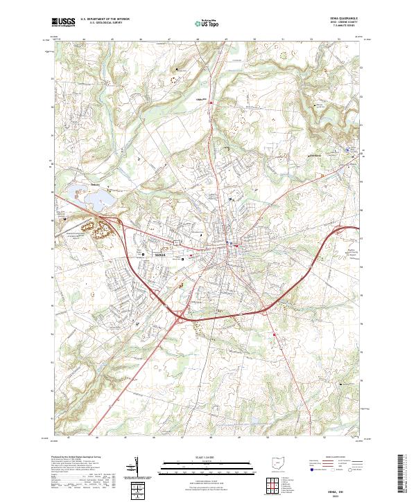
2023 Map of Xenia
USGS Topo · Published 2023About this map
Xenia serves as the focal point for this Greene County landscape, where the confluence of several creeks and a complex road network defines the regional hub. The town is flanked by academic institutions in Wilberforce, including Wilberforce University, Central State University, and Payne Theological Seminary. These centers of learning, established in an area with deep roots in education and faith, are situated just east of the Greene County Courthouse.
Find a feature on this map
182 named features on this map. Tap any name to fly to it.
Don’t see what you’re looking for? This feature index may not catch every label — zoom into the map to look around manually.
Map Details
Editions of this 2023 Xenia Map
This is the sole edition of this map. No revisions or reprints were ever made.
Other maps of this area

1904 · Springfield
USGS Topo · 1:62,500

1904 · Dayton
USGS Topo · 1:62,500

1906 · Dayton
USGS Topo · 1:62,500

1906 · Springfield
USGS Topo · 1:62,500

1913 · Waynesville
USGS Topo · 1:62,500

1915 · Waynesville
USGS Topo · 1:62,500

1917 · Xenia
USGS Topo · 1:62,500

1947 · Columbus
USGS Topo · 1:250,000

1953 · Cincinnati
USGS Topo · 1:250,000

1954 · Clifton
USGS Topo · 1:24,000
Featured Places
- Xenia, OH
- New Jasper Township, OH
- Caesarscreek Township, OH
- Cedarville Township, OH
- Spring Valley Township, OH