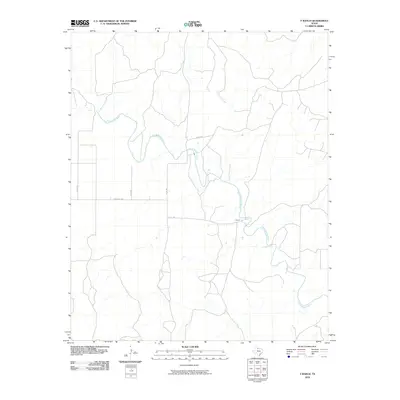
2010 Map of Y Ranch
USGS Topo · Published 2010About this map
The North Wichita River winds across this section of Cottle County, defining a landscape shaped by intermittent watercourses and ranching history. The eponymous Y Ranch serves as a primary landmark in a region characterized by expansive open range and a network of rural roads such as Ranch Rd 1038 and Co Rd 493. These routes connect isolated holdings and follow the natural drainage patterns of the terrain.
Find a feature on this map
9 named features on this map. Tap any name to fly to it.
Don’t see what you’re looking for? This feature index may not catch every label — zoom into the map to look around manually.
Map Details
Editions of this 2010 Y Ranch Map
This is the sole edition of this map. No revisions or reprints were ever made.
Other maps of this area

1932 · Vivian
USGS Topo · 1:62,500

1954 · Lubbock
USGS Topo · 1:250,000

1954 · Plainview
USGS Topo · 1:250,000

1954 · Wichita Falls
USGS Topo · 1:250,000

1955 · Lawton
USGS Topo · 1:250,000

1958 · Wichita Falls
USGS Topo · 1:250,000

1958 · Plainview
USGS Topo · 1:250,000

1960 · Teacup Mountain
USGS Topo · 1:62,500

1966 · Chalk SW
USGS Topo · 1:24,000

1966 · Big Four Ranch
USGS Topo · 1:24,000