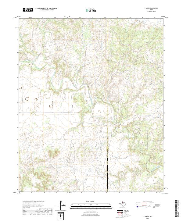
2022 Map of Y Ranch
USGS Topo · Published 2022About this map
The North Wichita River carves a deep, winding path through the broken canyonlands along the border of Cottle and Foard counties. This 2022 survey captures the expansive ranching country of the Texas Rolling Plains, where watercourses like Coon Hollow Cr and Cottonwood Cr dictate the layout of the sparse local road network. Transport through this rugged terrain is limited to essential corridors such as Ranch Rd 1038 and FM 1038, which provide the primary access to the large pastoral holdings that define the region. The landscape remains largely undeveloped, characterized by the intricate drainage systems that feed into the main river channel, including the western reaches of E Cottonwood Cr.
Find a feature on this map
13 named features on this map. Tap any name to fly to it.
Don’t see what you’re looking for? This feature index may not catch every label — zoom into the map to look around manually.
Map Details
Editions of this 2022 Y Ranch Map
This is the sole edition of this map. No revisions or reprints were ever made.
Other maps of this area

1932 · Vivian
USGS Topo · 1:62,500

1954 · Lubbock
USGS Topo · 1:250,000

1954 · Plainview
USGS Topo · 1:250,000

1954 · Wichita Falls
USGS Topo · 1:250,000

1955 · Lawton
USGS Topo · 1:250,000

1958 · Wichita Falls
USGS Topo · 1:250,000

1958 · Plainview
USGS Topo · 1:250,000

1960 · Teacup Mountain
USGS Topo · 1:62,500

1966 · Chalk SW
USGS Topo · 1:24,000

1966 · Big Four Ranch
USGS Topo · 1:24,000