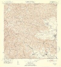
1952 Map of Yabucoa
USGS Topo · Published 1953About this map
The Valle de Yabucoa opens toward the Caribbean coast in this early 1950s survey, revealing a landscape dominated by the sugar industry and intricate drainage networks. Central Roig serves as a focal point for the eastern coastal plain, supported by surrounding agricultural settlements like Colonia Laura, Colonia Garonne, and Batey Columbia. The map documents the transition from the steep, interior ridges of the Sierra de Guayanes and the Cuchilla de Panduras down to the alluvial floor where the Rio Guayanes and Cano de Santiago meet the sea.
Find a feature on this map
76 named features on this map. Tap any name to fly to it.
Don’t see what you’re looking for? This feature index may not catch every label — zoom into the map to look around manually.
Map Details
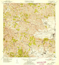
Editions of this 1952 Yabucoa Map
2 editions found
Other maps of this area

1945 · Punta Tuna
USGS Topo · 1:30,000

1946 · Patillas
USGS Topo · 1:30,000

1946 · Humacao
USGS Topo · 1:30,000

1946 · Punta Guayanes
USGS Topo · 1:30,000

1946 · Juncos
USGS Topo · 1:30,000

1946 · Yabucoa
USGS Topo · 1:30,000

1946 · Guayama
USGS Topo · 1:30,000

1946 · Caguas
USGS Topo · 1:30,000
1947 · Humacao SO
USGS Topo · 1:10,000

1947 · Yabucoa SO
USGS Topo · 1:10,000