Loading...
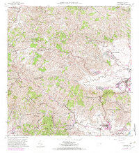
Loading map...1960 Map of Yabucoa
USGS Topo · Published 1982About this map
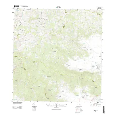
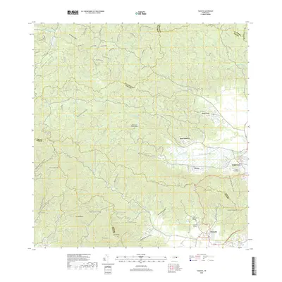
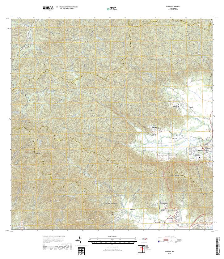
The Valle de Yabucoa dominates this landscape, where the sugar industry centered at Central Roig once defined the local economy. The map reveals a transition from the agricultural lowlands of the Rio Guayanes and Cano de Santiago to the steep elevations of the Sierra de Cayey and Sierra de Guardarraya. Local life is concentrated in settlements like Yabucoa and Maunabo, supported by rural institutions including the Escuela Segunda Unidad and Escuela Jacana Abajo.
Find a feature on this map
64 named features on this map. Tap any name to fly to it.
Don’t see what you’re looking for? This feature index may not catch every label — zoom into the map to look around manually.
Map Details
Date Portrayed1960
Date Published1982
PublisherU.S. Geological Survey
Map TypeTopographic
Scale1:20,000
Physical Dimensions29.5 x 32.3 inches
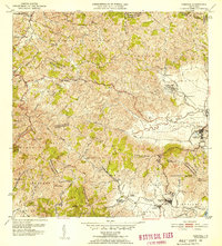
Editions of this 1960 Yabucoa Map
3 editions found
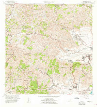
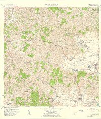
Historical Maps of Yabucoa Through Time
6 maps found

Featured Locations
Source Details
SourceU.S. Geological Survey
CopyrightPublic Domain