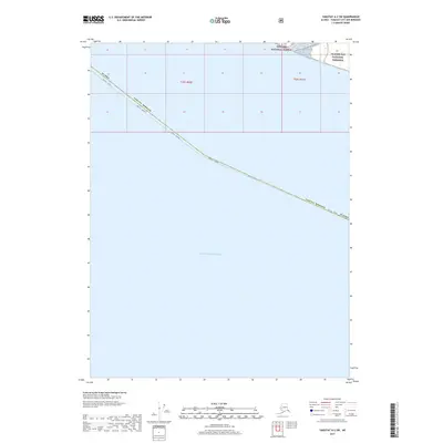
2017 Map of Yakutat A-2 SW
USGS Topo · Published 2017About this map
The Gulf of Alaska dominates this coastal survey, where the maritime boundary of the Yakutat Borough meets the open sea. Along the narrow northern shoreline, the wilderness of the Glacier Bay National Preserve and the Tongass National Forest converge, marking a significant intersection of protected federal lands. The landscape is primarily defined by its hydrological and political boundaries rather than permanent settlements, with the Alsek Mouth Route providing one of the few designated paths through this remote stretch of the Alsek River delta region. This map documents the precise interface between the borough's southern reaches and the Pacific waters during the early twenty-first century.
Find a feature on this map
9 named features on this map. Tap any name to fly to it.
Don’t see what you’re looking for? This feature index may not catch every label — zoom into the map to look around manually.
Map Details
Editions of this 2017 Yakutat A-2 SW Map
This is the sole edition of this map. No revisions or reprints were ever made.
Other maps of this area

1951 · Yakutat
USGS Topo · 1:250,000

1959 · Yakutat A-2
USGS Topo · 1:63,360
1959 · Yakutat A-3
USGS Topo · 1:63,360

1959 · Yakutat
USGS Topo · 1:250,000
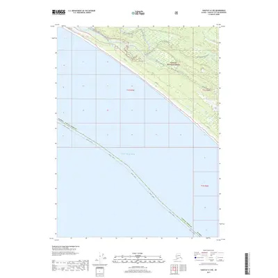
2017 · Yakutat A-3 NE
USGS Topo · 1:25,000
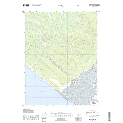
2017 · Yakutat A-2 NW
USGS Topo · 1:25,000
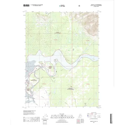
2017 · Yakutat A-2 NE
USGS Topo · 1:25,000
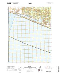
2017 · Yakutat A-2 SE
USGS Topo · 1:25,000
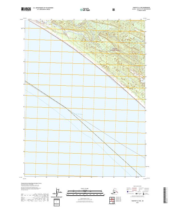
2021 · Yakutat A-3 NE
USGS Topo · 1:25,000
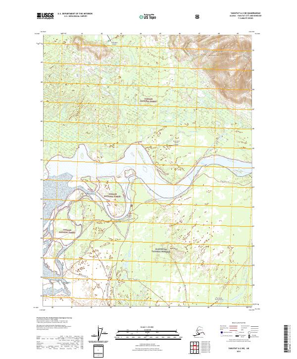
2021 · Yakutat A-2 NE
USGS Topo · 1:25,000