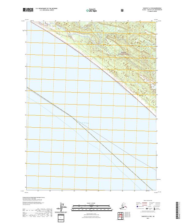
2021 Map of Yakutat A-3 NE
USGS Topo · Published 2021About this map
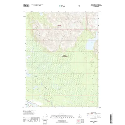
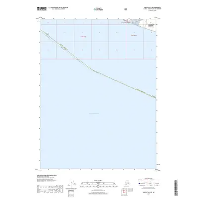
The Akwe River meanders through a complex network of wetlands and tidal flats as it approaches the coast in the Tongass National Forest. This 2021 survey illustrates the shifting relationship between the river and the sea, separated by the prominent Akwe Spit. The landscape is defined by the absence of permanent human settlement, dominated instead by the natural transition from the forest interior to the expansive Gulf of Alaska. The presence of the Alaska Department of Transportation and Forest Service data indicates the ongoing management of this remote coastal stretch within the Yakutat City and Borough. The map provides a precise look at the township and range boundaries including t31s r39e and t31s r40e, which are essential for understanding land divisions in this part of Alaska.
Find a feature on this map
7 named features on this map. Tap any name to fly to it.
Don’t see what you’re looking for? This feature index may not catch every label — zoom into the map to look around manually.
Map Details
Editions of this 2021 Yakutat A-3 NE Map
This is the sole edition of this map. No revisions or reprints were ever made.
Other maps of this area

1951 · Yakutat
USGS Topo · 1:250,000

1959 · Yakutat A-2
USGS Topo · 1:63,360
1959 · Yakutat A-3
USGS Topo · 1:63,360

1959 · Yakutat B-3
USGS Topo · 1:63,360

1959 · Yakutat B-2
USGS Topo · 1:63,360

1959 · Yakutat
USGS Topo · 1:250,000
2017 · Yakutat A-3 NE
USGS Topo · 1:25,000
2017 · Yakutat A-2 NW
USGS Topo · 1:25,000
2017 · Yakutat B-3 SE
USGS Topo · 1:25,000
2017 · Yakutat A-2 SW
USGS Topo · 1:25,000