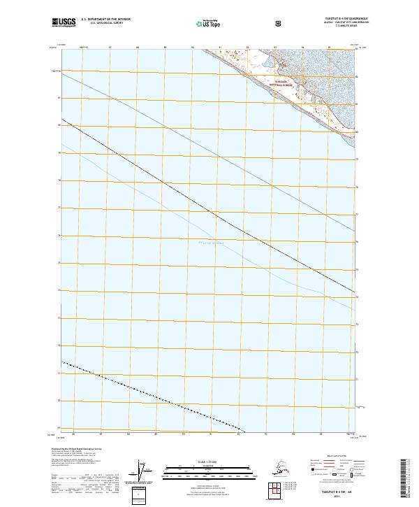
2021 Map of Yakutat B-4 SW
USGS Topo · Published 2021About this map
The Gulf of Alaska dominates this coastal survey, where the Pacific waters meet the southern reaches of the Alaskan panhandle. The coastline is defined by the protected lands of the Tongass National Forest, a region characterized here by its vast maritime boundary and the legal divisions of the Public Land Survey System, including t29s r36e and t30s r36e. This 2021 edition provides a contemporary record of the shoreline and maritime extent within the Yakutat City and Borough. The map focuses on the interface between the open gulf and the national forest, emphasizing the surveyor's grid and the natural curvature of the Alaskan coast in an area where human infrastructure is largely absent from the printed record.
Find a feature on this map
5 named features on this map. Tap any name to fly to it.
Don’t see what you’re looking for? This feature index may not catch every label — zoom into the map to look around manually.
Map Details
Editions of this 2021 Yakutat B-4 SW Map
This is the sole edition of this map. No revisions or reprints were ever made.
Other maps of this area

1951 · Yakutat
USGS Topo · 1:250,000

1959 · Yakutat B-5
USGS Topo · 1:63,360

1959 · Yakutat B-4
USGS Topo · 1:63,360

1959 · Yakutat
USGS Topo · 1:250,000
1987 · Yakutat B-5 NE
USGS Topo · 1:25,000
1987 · Yakutat B-4 NW
USGS Topo · 1:25,000
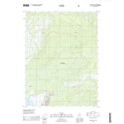
2017 · Yakutat B-4 NE
USGS Topo · 1:25,000
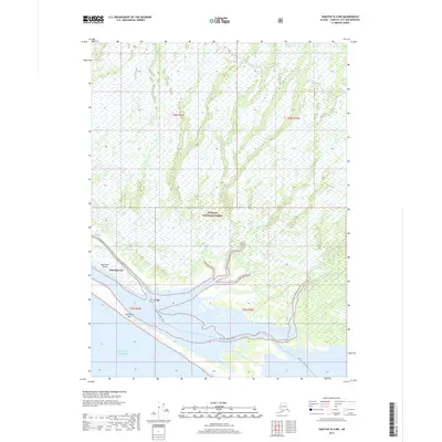
2017 · Yakutat B-4 NW
USGS Topo · 1:25,000
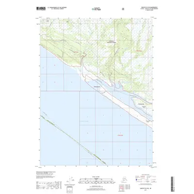
2017 · Yakutat B-5 NE
USGS Topo · 1:25,000
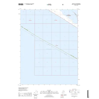
2017 · Yakutat B-4 SW
USGS Topo · 1:25,000