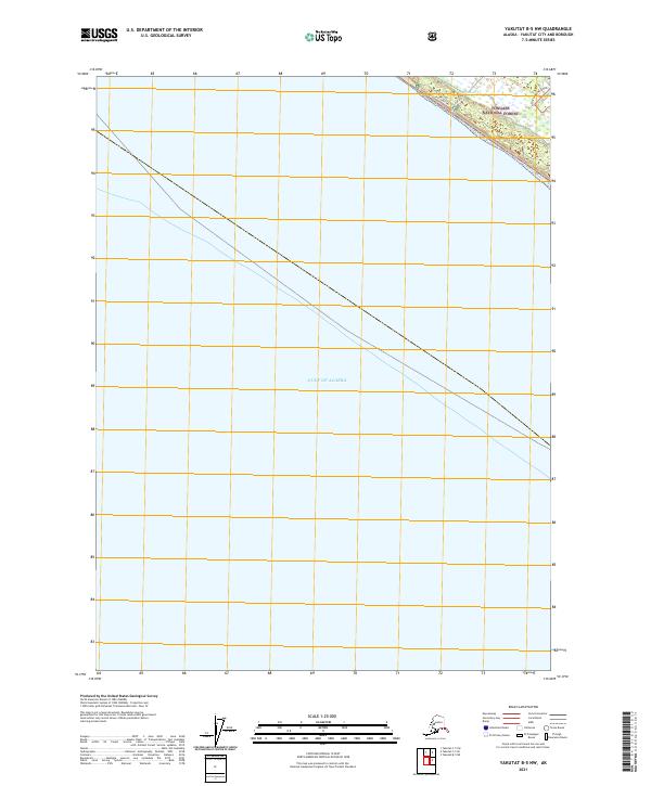
2021 Map of Yakutat B-5 NW
USGS Topo · Published 2021About this map
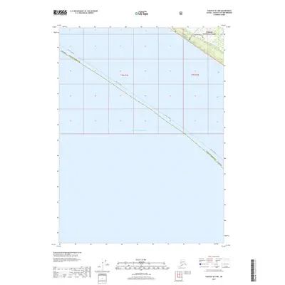
The Gulf of Alaska dominates this coastal survey, where the open ocean meets a narrow strip of land along the northern shoreline. This coastal margin is part of the Tongass National Forest, showing the immediate transition from marine waters to the forested landscape of the Yakutat region. The map captures a section of the shoreline defined by the mouth of Tawah Cr, which enters the sea near a network of coastal roads and trails. The geography here is typical of the Gulf coast, where water bodies and forest boundaries are the primary landmarks. The presence of coastal roads like Beach Road and Situk Landing Road suggests local access points for forest resources and shoreline activities in this remote Alaskan territory.
Find a feature on this map
3 named features on this map. Tap any name to fly to it.
Don’t see what you’re looking for? This feature index may not catch every label — zoom into the map to look around manually.
Map Details
Editions of this 2021 Yakutat B-5 NW Map
This is the sole edition of this map. No revisions or reprints were ever made.
Other maps of this area

1951 · Yakutat
USGS Topo · 1:250,000

1959 · Yakutat B-5
USGS Topo · 1:63,360

1959 · Yakutat C-5
USGS Topo · 1:63,360

1959 · Yakutat
USGS Topo · 1:250,000
1985 · Yakutat C-6
USGS Topo · 1:63,360
1987 · Yakutat C-5 SE
USGS Topo · 1:25,000
1987 · Yakutat B-5 NE
USGS Topo · 1:25,000
1987 · Yakutat C-5 SW
USGS Topo · 1:25,000
1996 · Yakutat C-5
USGS Topo · 1:63,360
2017 · Yakutat B-5 NW
USGS Topo · 1:25,000