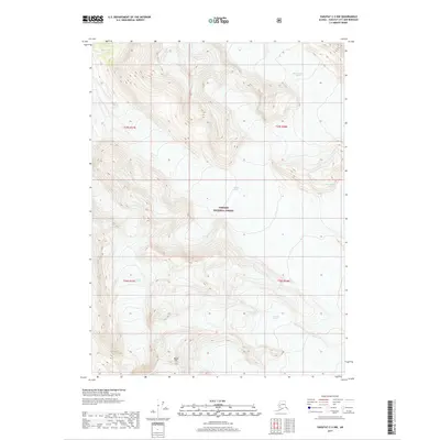
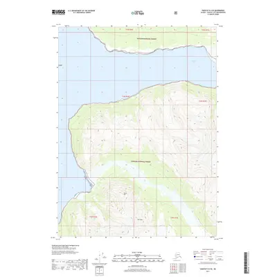
2017 Map of Yakutat C-3 NW
USGS Topo · Published 2017About this map
Tongass National Forest dominates this Alaskan landscape, where the shifting ice of several prominent glaciers defines the local geography. The map illustrates a transitional glacial environment, capturing the positions of West Nunatak Glacier and Hidden Glacier as they appeared in 2017. To the south, the presence of Fourth Glacier and the Yakutat Glacier demonstrates the immense ice field network that has shaped the drainage and elevation patterns of the region. A notable mountain landmark, Black Tit, stands as a fixed point amidst the ice, offering a reference for the dramatic elevation changes that exceed 4,000 feet in some sectors of the quadrangle. This survey provides a baseline for understanding the state of these massive ice bodies during a period of documented glacial movement.
Find a feature on this map
10 named features on this map. Tap any name to fly to it.
Don’t see what you’re looking for? This feature index may not catch every label — zoom into the map to look around manually.
Map Details
Editions of this 2017 Yakutat C-3 NW Map
This is the sole edition of this map. No revisions or reprints were ever made.
Other maps of this area

1951 · Yakutat
USGS Topo · 1:250,000

1959 · Yakutat C-3
USGS Topo · 1:63,360

1959 · Yakutat D-3
USGS Topo · 1:63,360

1959 · Yakutat D-4
USGS Topo · 1:63,360

1959 · Yakutat C-4
USGS Topo · 1:63,360

1959 · Yakutat
USGS Topo · 1:250,000
1987 · Yakutat C-4 SE
USGS Topo · 1:25,000
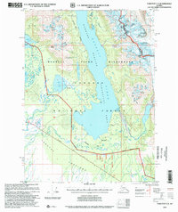
1997 · Yakutat C-4
USGS Topo · 1:63,360
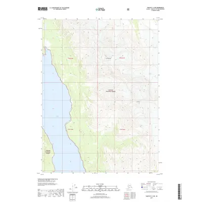
2017 · Yakutat C-4 NE
USGS Topo · 1:25,000
2017 · Yakutat D-4 SE
USGS Topo · 1:25,000