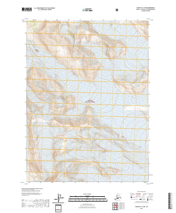
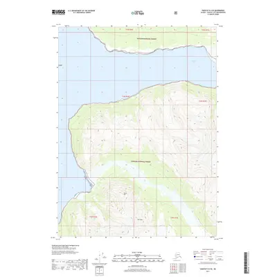
2021 Map of Yakutat C-3 NW
USGS Topo · Published 2021About this map
The Saint Elias Mountains dominate this high-latitude terrain within the Tongass National Forest. This modern 2021 survey documents a landscape of dramatic ice and elevation, featuring the massive West Nunatak Glacier and the Fourth Glacier. The topographic data captures the intricate contours of the peaks, including the prominent summit of Black Tit. While devoid of human settlements or roads, the map provides precise indexing of the Public Land Survey System through townships such as t25s r37e and t26s r38e, serving as a critical record of the ice coverage and glacial movement in this protected Alaskan wilderness during the early twenty-first century.
Find a feature on this map
9 named features on this map. Tap any name to fly to it.
Don’t see what you’re looking for? This feature index may not catch every label — zoom into the map to look around manually.
Map Details
Editions of this 2021 Yakutat C-3 NW Map
This is the sole edition of this map. No revisions or reprints were ever made.
Other maps of this area

1951 · Yakutat
USGS Topo · 1:250,000

1959 · Yakutat C-3
USGS Topo · 1:63,360

1959 · Yakutat D-3
USGS Topo · 1:63,360

1959 · Yakutat D-4
USGS Topo · 1:63,360

1959 · Yakutat C-4
USGS Topo · 1:63,360

1959 · Yakutat
USGS Topo · 1:250,000
1987 · Yakutat C-4 SE
USGS Topo · 1:25,000
1997 · Yakutat C-4
USGS Topo · 1:63,360
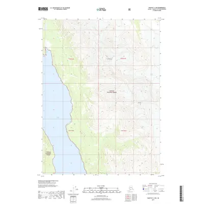
2017 · Yakutat C-4 NE
USGS Topo · 1:25,000
2017 · Yakutat D-4 SE
USGS Topo · 1:25,000