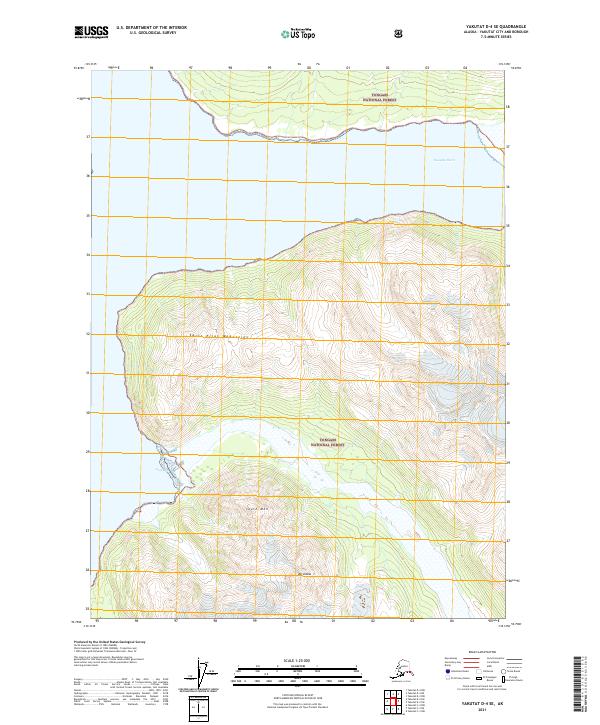
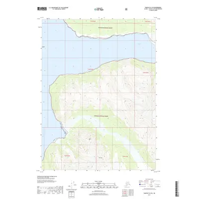
2021 Map of Yakutat D-4 SE
USGS Topo · Published 2021About this map
Saint Elias Mountains define the glaciated topography of this coastal Alaskan landscape, where the high peaks of Mt Unana and South Mtn overlook the icy waters of the Pacific. Most of the territory is protected within the Tongass National Forest, illustrating a wilderness largely untouched by permanent human settlement or road infrastructure. The mapping detail highlights the dramatic interface between the sea and the shore, specifically at Nunatak Fiord and the sheltered Seal Bay. These coastal features demonstrate the complex shoreline characteristic of the Yakutat region, providing a reference for changing tidewater glaciers and marine navigation in a remote environment where nature is the primary architect.
Find a feature on this map
12 named features on this map. Tap any name to fly to it.
Don’t see what you’re looking for? This feature index may not catch every label — zoom into the map to look around manually.
Map Details
Editions of this 2021 Yakutat D-4 SE Map
This is the sole edition of this map. No revisions or reprints were ever made.
Other maps of this area

1951 · Yakutat
USGS Topo · 1:250,000

1959 · Yakutat C-3
USGS Topo · 1:63,360

1959 · Yakutat D-3
USGS Topo · 1:63,360

1959 · Yakutat D-4
USGS Topo · 1:63,360

1959 · Yakutat C-4
USGS Topo · 1:63,360

1959 · Yakutat
USGS Topo · 1:250,000
1997 · Yakutat C-4
USGS Topo · 1:63,360
2017 · Yakutat D-4 SW
USGS Topo · 1:25,000
2017 · Yakutat C-4 NE
USGS Topo · 1:25,000
2017 · Yakutat D-4 SE
USGS Topo · 1:25,000