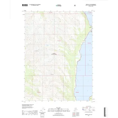
2017 Map of Yakutat D-4 SW
USGS Topo · Published 2017About this map
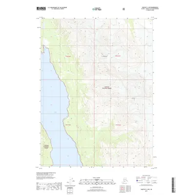
Russell Fiord dominates the eastern shoreline of this coastal Alaskan landscape, where the tides of the Pacific meet the glacial runoff of the Tongass National Forest. The 2017 survey reveals a wilderness defined by massive ice formations, including the McCarty Glacier in the north and the Hendrickson Glacier further south. These frozen rivers carve through high peaks such as Mt Hendrickson and Mt Rasmuson, sending meltwater through drainages like Galahonda Cr. Near the northern entrance to the fiord, the prominent Cape Enchantment stands as a significant landmark for maritime navigation. This map provides a modern record of glacial positioning and shoreline geometry in a region where the environment remains the primary architect of the land.
Find a feature on this map
16 named features on this map. Tap any name to fly to it.
Don’t see what you’re looking for? This feature index may not catch every label — zoom into the map to look around manually.
Map Details
Editions of this 2017 Yakutat D-4 SW Map
This is the sole edition of this map. No revisions or reprints were ever made.
Other maps of this area

1951 · Yakutat
USGS Topo · 1:250,000

1959 · Yakutat C-5
USGS Topo · 1:63,360

1959 · Yakutat D-4
USGS Topo · 1:63,360

1959 · Yakutat C-4
USGS Topo · 1:63,360

1959 · Yakutat D-5
USGS Topo · 1:63,360

1959 · Yakutat
USGS Topo · 1:250,000
1996 · Yakutat C-5
USGS Topo · 1:63,360
1997 · Yakutat C-4
USGS Topo · 1:63,360
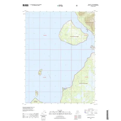
2017 · Yakutat C-5 NE
USGS Topo · 1:25,000
2017 · Yakutat C-4 NE
USGS Topo · 1:25,000