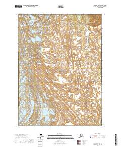
2017 Map of Yakutat D-6 NW
USGS Topo · Published 2017About this map
Wrangel-Saint Elias National Park encompasses this glacial landscape, characterized by the intersection of massive ice fields and braided waterways. The northern portion of the map is dominated by the Marvine Glacier, while the southern reaches reveal the edges of the Malaspina Glacier, one of the most significant piedmont glaciers in the world. Between these frozen giants, Kwik Stream weaves through the shifting terrain, illustrating the dynamic hydrological patterns of the Alaskan coast. The map also delineates the Public Land Survey System boundaries, including t22s r30e and t23s r31e, which provide a geographic grid for this wilderness area managed by the U.S. Geological Survey.
Find a feature on this map
8 named features on this map. Tap any name to fly to it.
Don’t see what you’re looking for? This feature index may not catch every label — zoom into the map to look around manually.
Map Details
Editions of this 2017 Yakutat D-6 NW Map
This is the sole edition of this map. No revisions or reprints were ever made.
Other maps of this area

1951 · Yakutat
USGS Topo · 1:250,000

1951 · Mt Saint Elias
USGS Topo · 1:250,000

1959 · Yakutat
USGS Topo · 1:250,000

1959 · Mt Saint Elias
USGS Topo · 1:250,000
1985 · Mount Saint Elias A-7
USGS Topo · 1:63,360
1985 · Yakutat D-6
USGS Topo · 1:63,360
1985 · Mount Saint Elias A-6
USGS Topo · 1:63,360
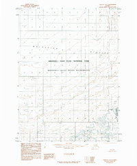
1985 · Yakutat D-7
USGS Topo · 1:63,360
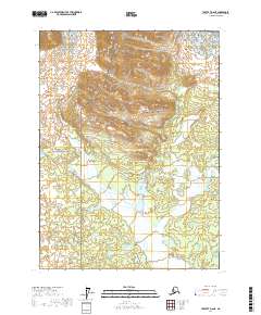
2017 · Yakutat D-6 NE
USGS Topo · 1:25,000
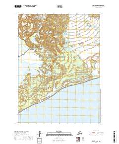
2017 · Yakutat D-6 SE
USGS Topo · 1:25,000