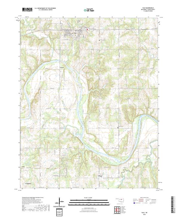
2022 Map of Yale
USGS Topo · Published 2022About this map
Yale anchors the northern portion of this Payne County landscape, where the street grid transitions into a vast network of rural section-line roads and creek drainages. The Cimarron River carves a sweeping path through the center and southeast, its floodplains flanked by small settlements such as Cartoco and Schlegel. The mapping of these minor locales, alongside outlying rail points like Gano, provides a clear view of the regional settlement pattern before urban expansion altered many small Oklahoma communities.
Find a feature on this map
72 named features on this map. Tap any name to fly to it.
Don’t see what you’re looking for? This feature index may not catch every label — zoom into the map to look around manually.
Map Details
Editions of this 2022 Yale Map
This is the sole edition of this map. No revisions or reprints were ever made.
Other maps of this area

1908 · Agra
USGS Topo · 1:62,500

1929 · Yale
USGS Topo · 1:62,500

1929 · Ripley
USGS Topo · 1:62,500

1931 · Drumright
USGS Topo · 1:62,500

1932 · Yale
USGS Topo · 1:62,500

1932 · Ripley
USGS Topo · 1:62,500

1954 · Oklahoma City
USGS Topo · 1:250,000

1955 · Enid
USGS Topo · 1:250,000

1957 · Oklahoma City
USGS Topo · 1:250,000

1958 · Enid
USGS Topo · 1:250,000