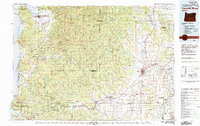
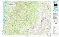
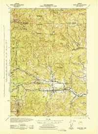
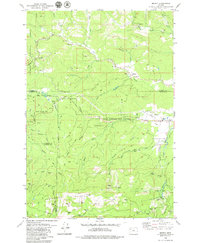
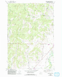
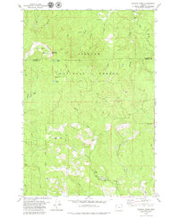
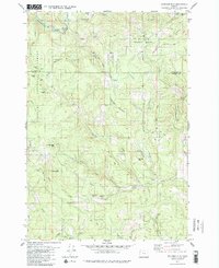
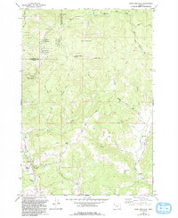
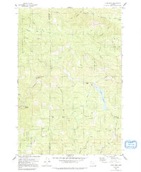
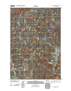
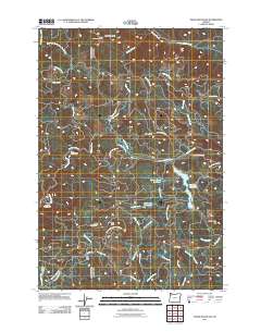
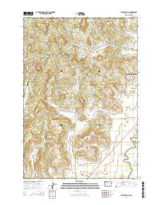
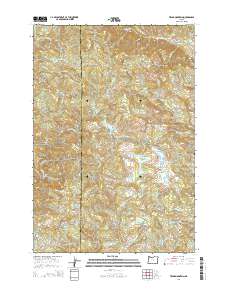
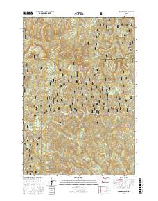
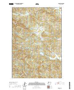
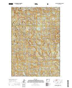
1980 Map of Yamhill River
USGS Topo · Published 1980About this map
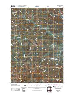
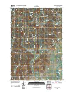
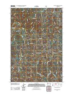
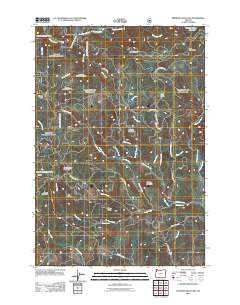
Tillamook State Forest and the Siuslaw National Forest dominate the mountainous interior of this region, where the Yamhill River and its various forks originate. Compiled from surveys spanning several decades, the map shows the transition from the rugged timberlands and coastal outposts like Netarts and Pacific City to the agricultural expanses of the Willamette Valley. In the west, the Three Capes Scenic Route winds along a dramatic coastline featuring Cape Lookout and Cape Kiwanda State Park.
Find a feature on this map
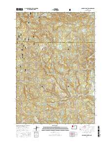
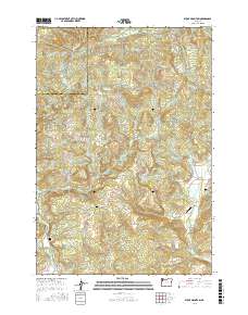
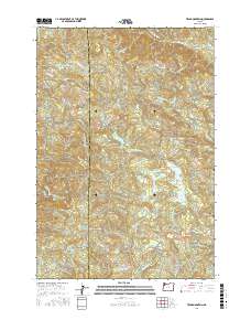
140 named features on this map. Tap any name to fly to it.
Don’t see what you’re looking for? This feature index may not catch every label — zoom into the map to look around manually.
Map Details
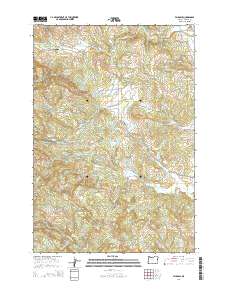
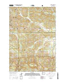
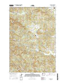
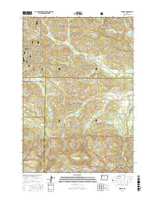
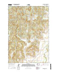
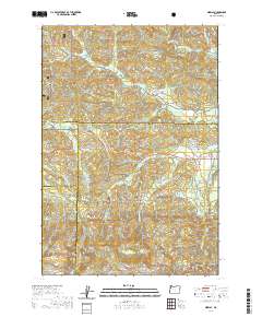
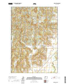
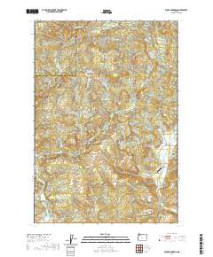
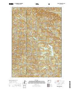
Editions of this 1980 Yamhill River Map
3 editions found
Historical Maps of Salem Through Time
49 maps found

1924 Mc Minnville
Yamhill County, OR
1926 Mc Minnville
Yamhill County, OR
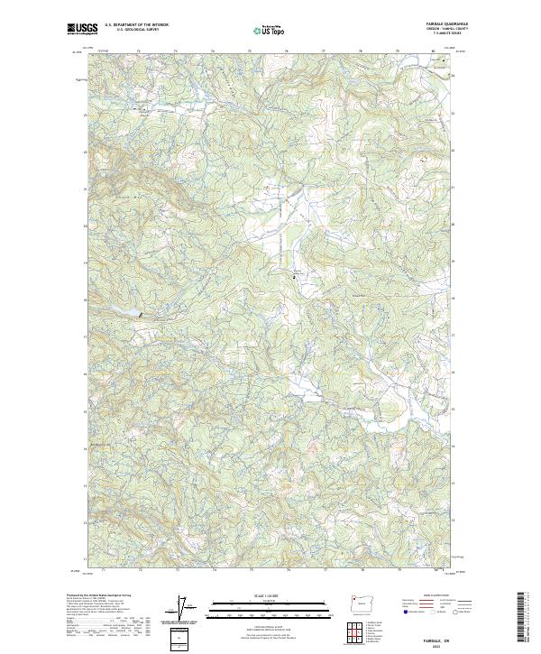
1942 Fairdale
Yamhill County, OR
1942 Spirit Mtn
Yamhill County, OR
1955 Fairdale
Yamhill County, OR
1957 Mc Minnville
Yamhill County, OR
1979 Fairdale
Yamhill County, OR
1979 Midway
Yamhill County, OR
1979 Muddy Valley
Yamhill County, OR
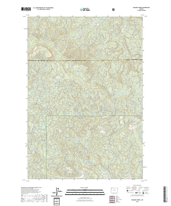
1979 Niagara Creek
Yamhill County, OR
1979 Springer Mtn
Yamhill County, OR
1979 Stony Mountain
Yamhill County, OR
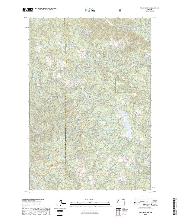
1979 Trask Mtn
Yamhill County, OR
1980 Yamhill River
Yamhill County, OR
2011 Fairdale
Yamhill County, OR
2011 Midway
Yamhill County, OR
2011 Muddy Valley
Yamhill County, OR
2011 Niagara Creek
Yamhill County, OR
2011 Springer Mountain
Yamhill County, OR
2011 Stony Mountain
Yamhill County, OR
2011 Trask Mountain
Yamhill County, OR
2014 Fairdale
Yamhill County, OR
2014 Midway
Yamhill County, OR
2014 Muddy Valley
Yamhill County, OR
2014 Niagara Creek
Yamhill County, OR
2014 Springer Mountain
Yamhill County, OR
2014 Stony Mountain
Yamhill County, OR
2014 Trask Mountain
Yamhill County, OR
2017 Fairdale
Yamhill County, OR
2017 Midway
Yamhill County, OR
2017 Muddy Valley
Yamhill County, OR
2017 Niagara Creek
Yamhill County, OR
2017 Springer Mountain
Yamhill County, OR
2017 Stony Mountain
Yamhill County, OR
2017 Trask Mountain
Yamhill County, OR
2020 Fairdale
Yamhill County, OR
2020 Midway
Yamhill County, OR
2020 Muddy Valley
Yamhill County, OR
2020 Niagara Creek
Yamhill County, OR
2020 Springer Mountain
Yamhill County, OR
2020 Stony Mountain
Yamhill County, OR
2020 Trask Mountain
Yamhill County, OR
2023 Fairdale
Yamhill County, OR
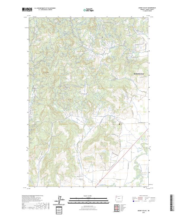
2023 Muddy Valley
Yamhill County, OR
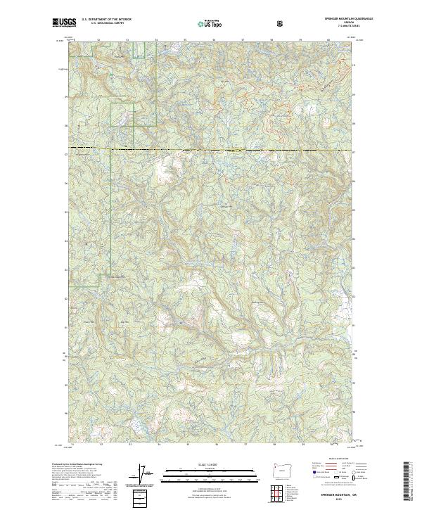
2023 Springer Mountain
Yamhill County, OR
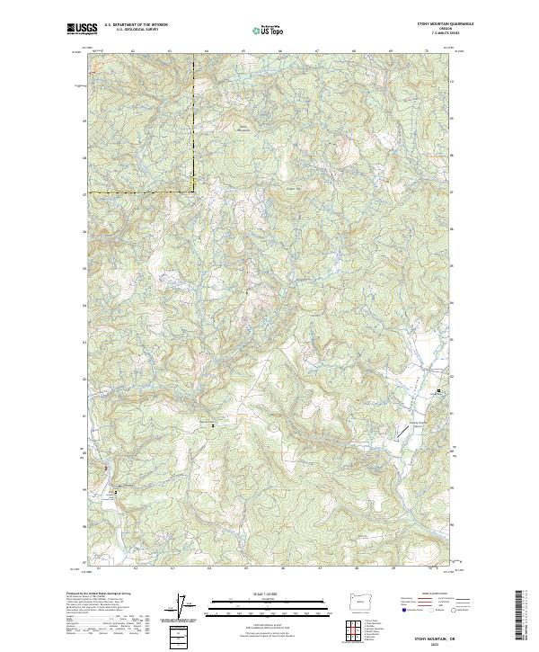
2023 Stony Mountain
Yamhill County, OR
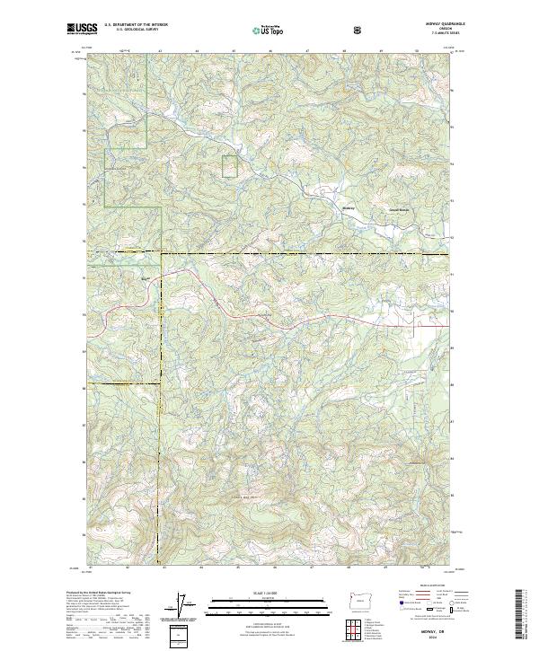
2024 Midway
Yamhill County, OR
2024 Niagara Creek
Yamhill County, OR
2024 Trask Mountain
Yamhill County, OR