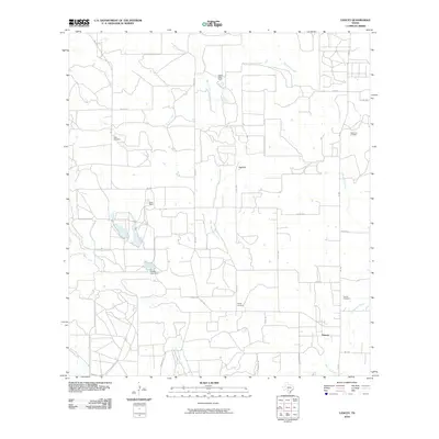
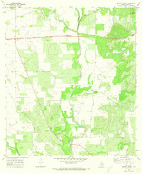
2010 Map of Yancey
USGS Topo · Published 2010About this map
Yancey and its surrounding ranchlands in Medina County are defined by the winding drainages of Tehuacana Creek and West Tehuacana Creek. The landscape transitions from agricultural holdings to industrial sites, most notably marked by the Taylor-Ina Oil Field in the northeast quadrant. Local heritage is preserved in several small burial grounds scattered across the area, including Butts Cemetery, Styles Cemetery, and Yancey Cemetery, which offer important points of interest for genealogists tracing early families in the region.
Find a feature on this map
27 named features on this map. Tap any name to fly to it.
Don’t see what you’re looking for? This feature index may not catch every label — zoom into the map to look around manually.
Map Details
Editions of this 2010 Yancey Map
This is the sole edition of this map. No revisions or reprints were ever made.
Other maps of this area

1928 · Frio Town
USGS Topo · 1:62,500

1954 · San Antonio
USGS Topo · 1:250,000

1956 · Sabinal
USGS Topo · 1:62,500

1956 · New Fountain
USGS Topo · 1:62,500

1957 · San Antonio
USGS Topo · 1:250,000
1964 · Moore
USGS Topo · 1:24,000
1964 · Wilson Ranch
USGS Topo · 1:24,000
1964 · Biry
USGS Topo · 1:24,000

1964 · Yancey
USGS Topo · 1:24,000
1970 · Murphy School
USGS Topo · 1:24,000