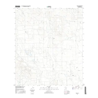
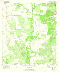
2016 Map of Yancey
USGS Topo · Published 2016About this map
Yancey serves as the primary hub in this portion of South Texas, where the local Po and Yancey Cem anchor the community's rural layout. The landscape is defined by the drainage patterns of several significant waterways, including Tehuacana Cr, Seco Cr, and Squirrel Cr, which carve through the terrain between low rises like Red Hill. Genealogists and local historians can trace the distribution of family-named landmarks and historical burial sites such as Butts Cem and Styles Cem, which are scattered among a network of farm-to-market and county roads. The presence of Faseler Lake suggests the importance of water management in this agricultural region, providing a specific point of reference for land ownership and local geography.
Find a feature on this map
34 named features on this map. Tap any name to fly to it.
Don’t see what you’re looking for? This feature index may not catch every label — zoom into the map to look around manually.
Map Details
Editions of this 2016 Yancey Map
This is the sole edition of this map. No revisions or reprints were ever made.
Other maps of this area

1928 · Frio Town
USGS Topo · 1:62,500

1954 · San Antonio
USGS Topo · 1:250,000

1956 · Sabinal
USGS Topo · 1:62,500

1956 · New Fountain
USGS Topo · 1:62,500

1957 · San Antonio
USGS Topo · 1:250,000
1964 · Moore
USGS Topo · 1:24,000
1964 · Wilson Ranch
USGS Topo · 1:24,000
1964 · Biry
USGS Topo · 1:24,000

1964 · Yancey
USGS Topo · 1:24,000
1970 · Murphy School
USGS Topo · 1:24,000