Loading...
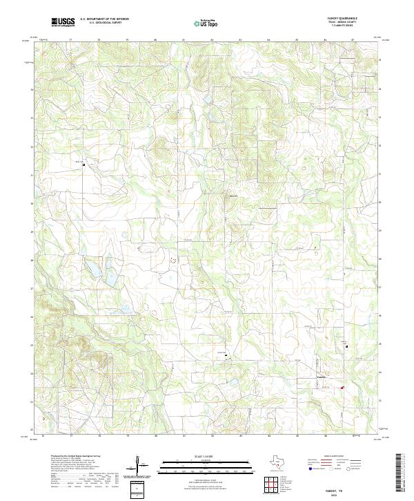
Loading map...2022 Map of Yancey
USGS Topo · Published 2022About this map
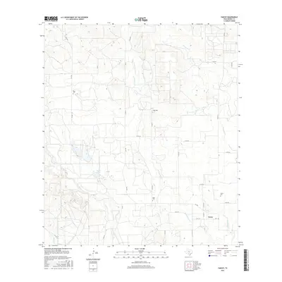
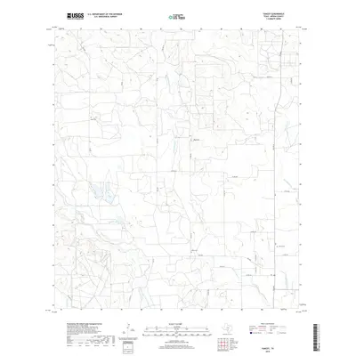
Yancey anchors this rural landscape in Medina County, situated at the junction of several county roads and FM 2200. The settlement is characterized by its agricultural surroundings, defined by a network of drainage systems including Tehuacana Cr, W Tehuacana Cr, and Seco Cr. These waterways carve through the terrain, which rises to a prominent point at Red Hill.
Find a feature on this map
33 named features on this map. Tap any name to fly to it.
Don’t see what you’re looking for? This feature index may not catch every label — zoom into the map to look around manually.
Map Details
Date Portrayed2022
Date Published2022
PublisherU.S. Geological Survey
Map TypeTopographic
Scale1:24,000
Physical Dimensions24 x 29 inches
Editions of this 2022 Yancey Map
This is the sole edition of this map. No revisions or reprints were ever made.
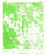
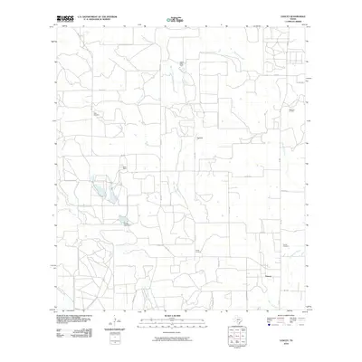
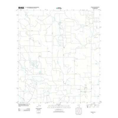
Historical Maps of Yancey Through Time
6 maps found
Featured Locations
Source Details
SourceU.S. Geological Survey
CopyrightPublic Domain