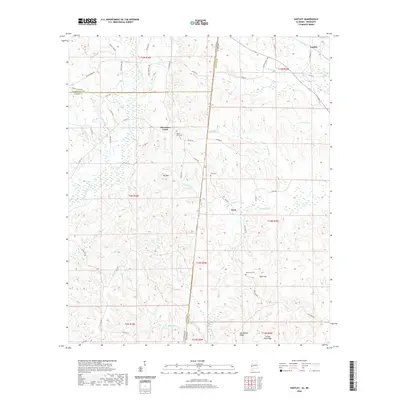
2020 Map of Yantley
USGS Topo · Published 2020About this map
The Alabama-Mississippi state line bisects this landscape, marking the transition between Choctaw County and its neighbors to the west. Small settlements like Yantley and Cyril anchor a rural network of county roads and family cemeteries, including Mount Zion Cem and Tims Cem. The terrain is defined by a dense system of waterways and ridges, where the Bogue Chitto river and the Douglas Canal navigate the lowlands beneath prominent rises like Bill Mtn and Hog Wallow Ridge.
Find a feature on this map
70 named features on this map. Tap any name to fly to it.
Don’t see what you’re looking for? This feature index may not catch every label — zoom into the map to look around manually.
Map Details
Editions of this 2020 Yantley Map
This is the sole edition of this map. No revisions or reprints were ever made.
Other maps of this area

1921 · Meridian
USGS Topo · 1:48,000

1923 · Meridian
USGS Topo · 1:62,500

1953 · Meridian
USGS Topo · 1:250,000

1957 · Meridian
USGS Topo · 1:250,000

1957 · Quitman
USGS Topo · 1:62,500

1965 · Meridian
USGS Topo · 1:250,000

1971 · Vimville
USGS Topo · 1:24,000

1974 · Yantley
USGS Topo · 1:24,000

1974 · Ward
USGS Topo · 1:24,000

1974 · Lisman
USGS Topo · 1:24,000