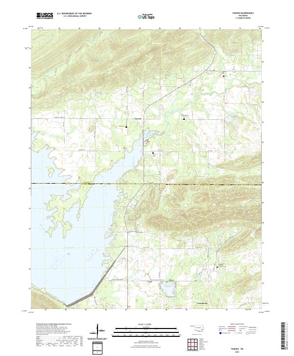
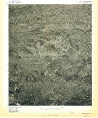
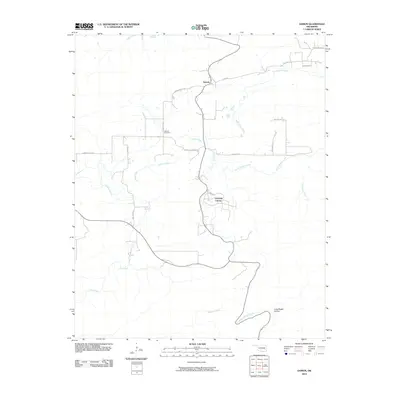
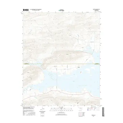
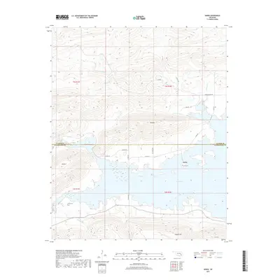
2022 Map of Yanush
USGS Topo · Published 2022About this map
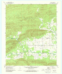
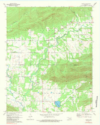
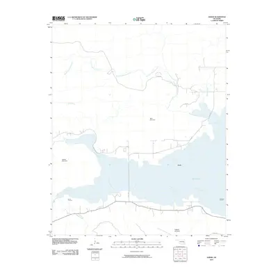
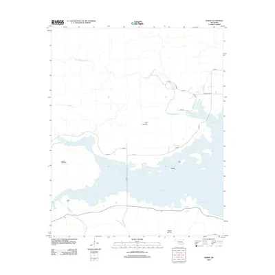
Sardis Lake dominates the western half of this landscape, its irregular shoreline reaching into the valleys formed by Anderson Cr and Buffalo Creek. The map documents the boundary between Latimer and Pushmataha counties, a region defined by scattered rural settlements and significant tribal history. In the south, the community of Tuskahoma is a focal point, noted particularly for the Tuskahoma Choctaw Veterans Cem.
Find a feature on this map
52 named features on this map. Tap any name to fly to it.
Don’t see what you’re looking for? This feature index may not catch every label — zoom into the map to look around manually.
Map Details
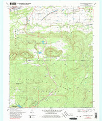
Editions of this 2022 Yanush Map
This is the sole edition of this map. No revisions or reprints were ever made.
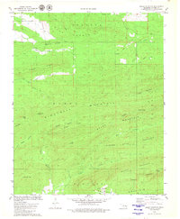
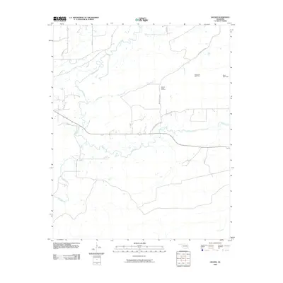
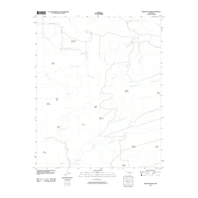
Historical Maps of Yanush Through Time
39 maps found
1969 Quinton South
Latimer County, OK
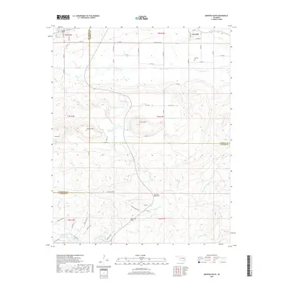
1971 Damon
Latimer County, OK
1971 Higgins
Latimer County, OK
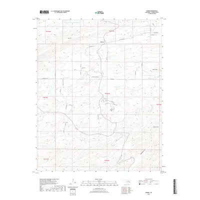
1971 Sardis
Latimer County, OK
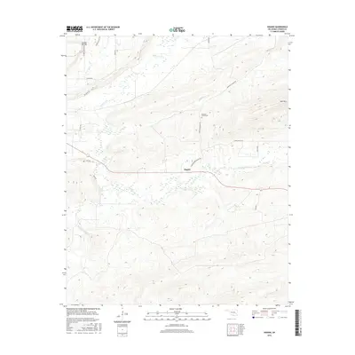
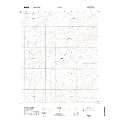
1971 Yanush
Latimer County, OK
1977 Damon
Latimer County, OK
1977 Higgins
Latimer County, OK
1977 Quinton South
Latimer County, OK
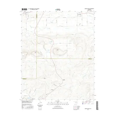
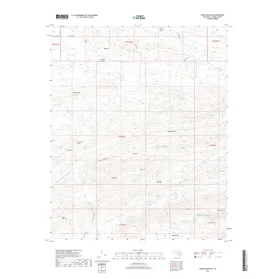
1979 Baker Mountain
Latimer County, OK
2009 Higgins
Latimer County, OK
2010 Baker Mountain
Latimer County, OK
2010 Damon
Latimer County, OK
2010 Quinton South
Latimer County, OK
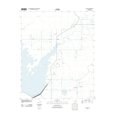
2010 Sardis
Latimer County, OK
2010 Yanush
Latimer County, OK
2012 Baker Mountain
Latimer County, OK
2012 Damon
Latimer County, OK
2012 Higgins
Latimer County, OK
2012 Quinton South
Latimer County, OK
2013 Sardis
Latimer County, OK
2013 Yanush
Latimer County, OK
2016 Baker Mountain
Latimer County, OK
2016 Damon
Latimer County, OK
2016 Higgins
Latimer County, OK
2016 Quinton South
Latimer County, OK
2016 Sardis
Latimer County, OK
2016 Yanush
Latimer County, OK
2018 Baker Mountain
Latimer County, OK
2018 Damon
Latimer County, OK
2018 Higgins
Latimer County, OK
2018 Quinton South
Latimer County, OK
2019 Sardis
Latimer County, OK
2019 Yanush
Latimer County, OK
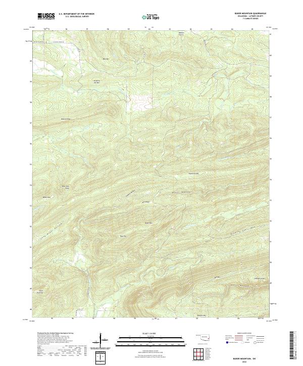
2022 Baker Mountain
Latimer County, OK
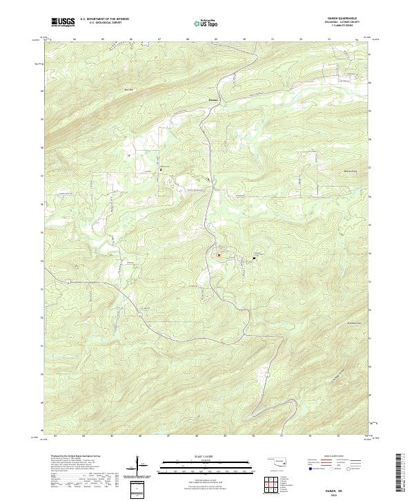
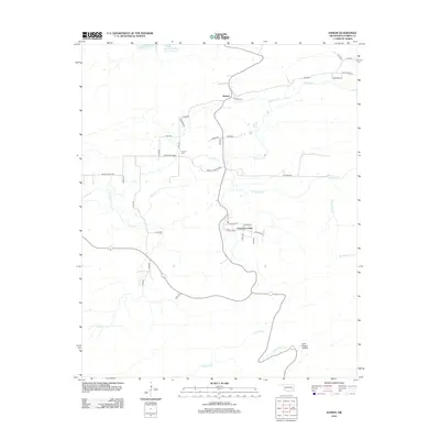
2022 Damon
Latimer County, OK
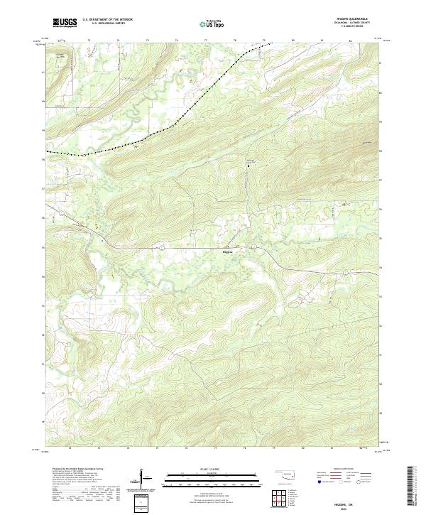
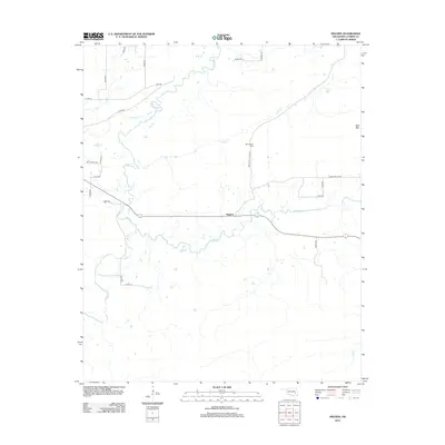
2022 Higgins
Latimer County, OK
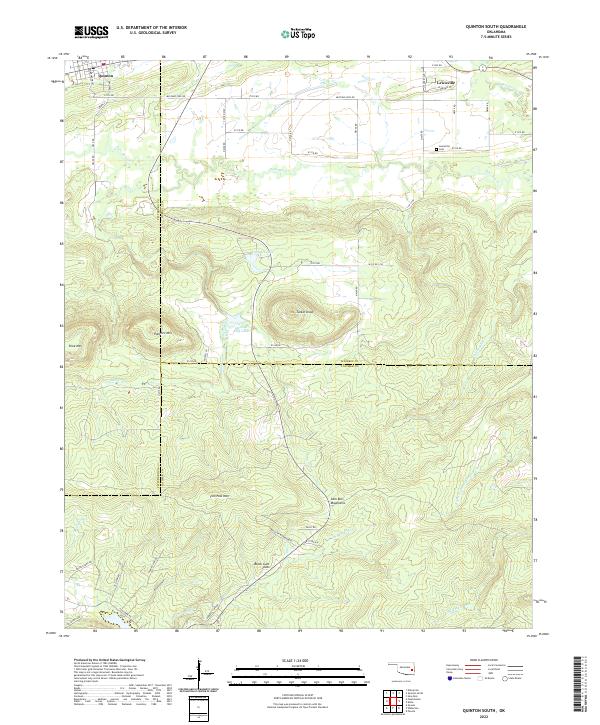
2022 Quinton South
Latimer County, OK
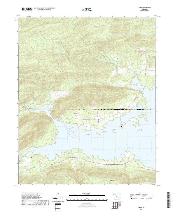
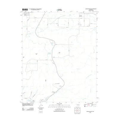
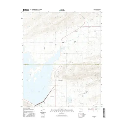
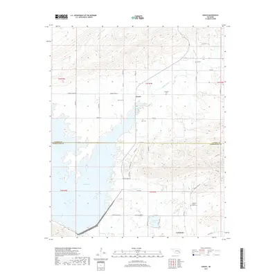
2022 Sardis
Latimer County, OK
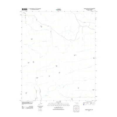
2022 Yanush
Latimer County, OK