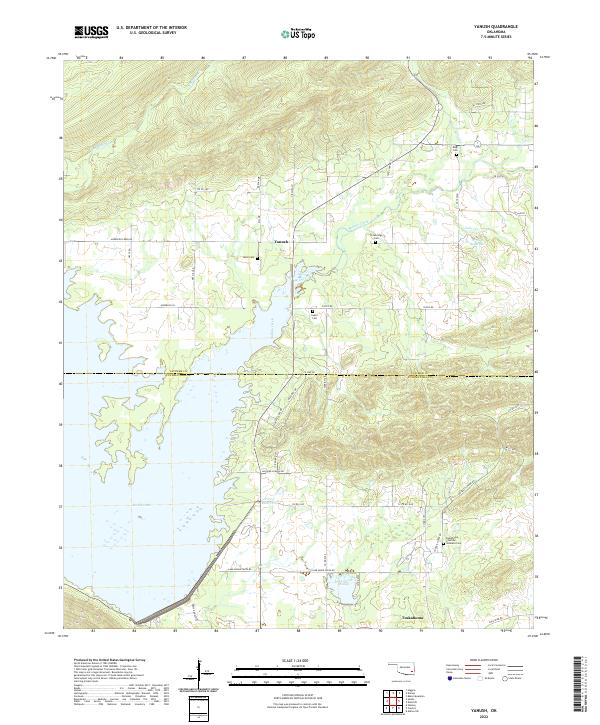
2022 Map of Yanush
USGS Topo · Published 2022About this map
Sardis Lake dominates the western half of this landscape, its irregular shoreline reaching into the valleys formed by Anderson Cr and Buffalo Creek. The map documents the boundary between Latimer and Pushmataha counties, a region defined by scattered rural settlements and significant tribal history. In the south, the community of Tuskahoma is a focal point, noted particularly for the Tuskahoma Choctaw Veterans Cem.
Find a feature on this map
52 named features on this map. Tap any name to fly to it.
Don’t see what you’re looking for? This feature index may not catch every label — zoom into the map to look around manually.
Map Details
Editions of this 2022 Yanush Map
This is the sole edition of this map. No revisions or reprints were ever made.
Other maps of this area

1901 · Tuskahoma
USGS Topo · 1:125,000

1908 · Tuskahoma
USGS Topo · 1:125,000

1909 · Tuskahoma
USGS Topo · 1:125,000

1940 · Red Oak
USGS Topo · 1:62,500

1943 · Red Oak
USGS Topo · 1:62,500

1950 · Mcalester
USGS Topo · 1:250,000

1962 · McAlester
USGS Topo · 1:250,000

1965 · McAlester
USGS Topo · 1:250,000

1971 · Yanush
USGS Topo · 1:24,000

1971 · Kiamichi
USGS Topo · 1:24,000