
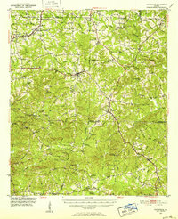
1951 Map of Yatesville
USGS Topo · Published 1952About this map
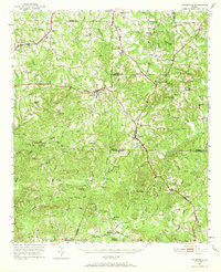
Topeka Junction serves as a primary rail focal point where the Central of Georgia line intersects this rural landscape on the borders of Upson, Lamar, Monroe, and Crawford Counties. The mid-century settlement pattern is defined by a dense network of country churches and family cemeteries, such as Antioch Ch and Sneed Cem, reflecting a deeply rooted agricultural society. Small rural schools like Anniebel Sch and Sugar Hill Sch are scattered across the terrain, illustrating the localized nature of education before widespread consolidation. The Southern railroad cuts through the center of the sheet, connecting towns like Yatesville and Culloden. This area is characterized by numerous creek branches, including Auchumpkee Creek and Echeconnee Creek, which dictated the placement of early settlements and roads.
Find a feature on this map
88 named features on this map. Tap any name to fly to it.
Don’t see what you’re looking for? This feature index may not catch every label — zoom into the map to look around manually.
Map Details
Editions of this 1951 Yatesville Map
3 editions found
Other maps of this area

1935 · Thomaston
USGS Topo · 1:48,000

1939 · Thomaston
USGS Topo · 1:62,500

1951 · Forsyth
USGS Topo · 1:62,500

1951 · Barnesville
USGS Topo · 1:62,500

1953 · Atlanta
USGS Topo · 1:250,000

1953 · Athens
USGS Topo · 1:250,000

1955 · Phenix City
USGS Topo · 1:250,000

1956 · Fort Valley
USGS Topo · 1:62,500

1956 · Bolingbroke
USGS Topo · 1:62,500

1957 · Phenix City
USGS Topo · 1:250,000