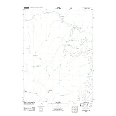
2012 Map of Ycatapom Peak
USGS Topo · Published 2012About this map
Ycatapom Peak dominates this high-elevation landscape in Trinity County, where the alpine wilderness meets early 21st-century recreation and ranching. The small settlement at Coffee and the nearby Coffee Creek Ranch serve as anchors along the northern edge of the map, connected by the winding Coffee Creek Rd. This area is defined by a dense network of mountain hydrology, featuring numerous high-country basins such as those containing Boulder Lake, Tapie Lake, and Lilypad Lake.
Find a feature on this map
64 named features on this map. Tap any name to fly to it.
Don’t see what you’re looking for? This feature index may not catch every label — zoom into the map to look around manually.
Map Details
Editions of this 2012 Ycatapom Peak Map
This is the sole edition of this map. No revisions or reprints were ever made.
Other maps of this area
1886 · Shasta
USGS Topo · 1:250,000
1890 · Red Bluff
USGS Topo · 1:250,000
1894 · Red Bluff
USGS Topo · 1:250,000
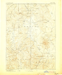
1894 · Shasta
USGS Topo · 1:250,000
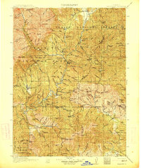
1913 · Weaverville
USGS Topo · 1:125,000
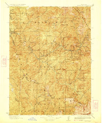
1923 · Sawyers Bar
USGS Topo · 1:125,000

1931 · Etna
USGS Topo · 1:96,000
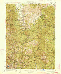
1934 · Etna
USGS Topo · 1:125,000
1948 · Weed
USGS Topo · 1:250,000
1950 · Weed
USGS Topo · 1:250,000