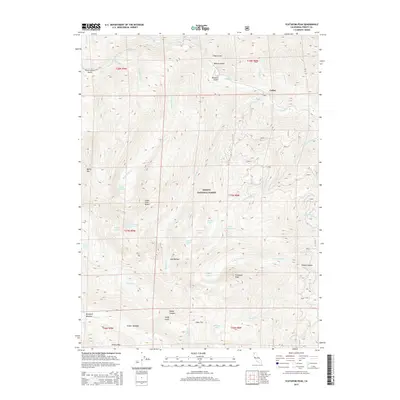
2015 Map of Ycatapom Peak
USGS Topo · Published 2015About this map
Ycatapom Peak dominates the southern skyline of this high-elevation landscape within the Shasta National Forest. The map documents a complex drainage system characterized by steep gulches and numerous alpine basins, including those containing Sugar Pine Lake, Foster Lake, and Little Boulder Lake. The small settlement of Coffee is situated along the upper reaches of Coffee Creek, a major waterway joined by tributaries like Crystal Creek and North Fork Coffee Creek.
Find a feature on this map
53 named features on this map. Tap any name to fly to it.
Don’t see what you’re looking for? This feature index may not catch every label — zoom into the map to look around manually.
Map Details
Editions of this 2015 Ycatapom Peak Map
This is the sole edition of this map. No revisions or reprints were ever made.
Other maps of this area

1886 · Shasta
USGS Topo · 1:250,000

1890 · Red Bluff
USGS Topo · 1:250,000

1894 · Red Bluff
USGS Topo · 1:250,000

1894 · Shasta
USGS Topo · 1:250,000

1913 · Weaverville
USGS Topo · 1:125,000

1923 · Sawyers Bar
USGS Topo · 1:125,000

1931 · Etna
USGS Topo · 1:96,000

1934 · Etna
USGS Topo · 1:125,000

1948 · Weed
USGS Topo · 1:250,000

1950 · Weed
USGS Topo · 1:250,000