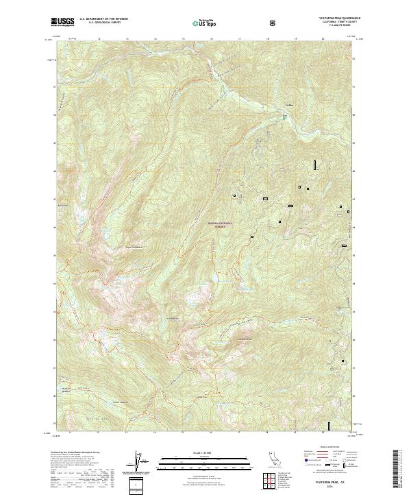
2021 Map of Ycatapom Peak
USGS Topo · Published 2021About this map
Coffee stands as a primary focal point in this mountainous region of the Trinity Alps, situated along the banks of Coffee Cr. The landscape is defined by the steep elevation changes and intricate drainage systems characteristic of the Shasta National Forest. Mapping of this area emphasizes the remote nature of the terrain, where watercourses like Coffee Cr dictate the layout of early settlement and travel. The presence of these specific water and naming markers provides a clear record of the local geography as it was documented by the U.S. Geological Survey for the Ycatapom Peak area.
Find a feature on this map
2 named features on this map. Tap any name to fly to it.
Don’t see what you’re looking for? This feature index may not catch every label — zoom into the map to look around manually.
Map Details
Editions of this 2021 Ycatapom Peak Map
This is the sole edition of this map. No revisions or reprints were ever made.
Other maps of this area

1886 · Shasta
USGS Topo · 1:250,000

1890 · Red Bluff
USGS Topo · 1:250,000

1894 · Red Bluff
USGS Topo · 1:250,000

1894 · Shasta
USGS Topo · 1:250,000

1913 · Weaverville
USGS Topo · 1:125,000

1923 · Sawyers Bar
USGS Topo · 1:125,000

1931 · Etna
USGS Topo · 1:96,000

1934 · Etna
USGS Topo · 1:125,000

1948 · Weed
USGS Topo · 1:250,000

1950 · Weed
USGS Topo · 1:250,000