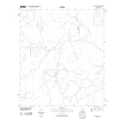
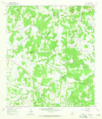
2010 Map of Yeager Creek
USGS Topo · Published 2010About this map
Miller Creek Cemetery and the surrounding ranchlands of Hays County define this landscape at the opening of the 2010s. The area is characterized by a dense network of watercourses, including the central Miller Creek and Yeager Creek, which drain the limestone hills of the Texas Hill Country. Several small aviation facilities and private runways, such as the Byram Ranch Airport, appear alongside legacy ranch boundaries like the Middle Creek Ranch and Mayfield Ranch.
Find a feature on this map
46 named features on this map. Tap any name to fly to it.
Don’t see what you’re looking for? This feature index may not catch every label — zoom into the map to look around manually.
Map Details
Editions of this 2010 Yeager Creek Map
This is the sole edition of this map. No revisions or reprints were ever made.
Other maps of this area

1887 · Blanco
USGS Topo · 1:125,000

1894 · Blanco
USGS Topo · 1:125,000

1954 · Llano
USGS Topo · 1:250,000

1955 · Llano
USGS Topo · 1:250,000

1956 · Llano
USGS Topo · 1:250,000
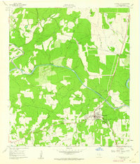
1961 · Johnson City
USGS Topo · 1:24,000
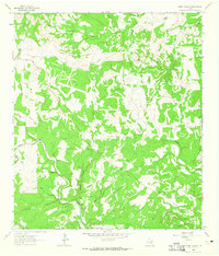
1963 · Rough Hollow
USGS Topo · 1:24,000

1963 · Yeager Creek
USGS Topo · 1:24,000
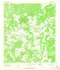
1963 · Henly
USGS Topo · 1:24,000
1963 · Payton
USGS Topo · 1:24,000